The Furnace of Turpan
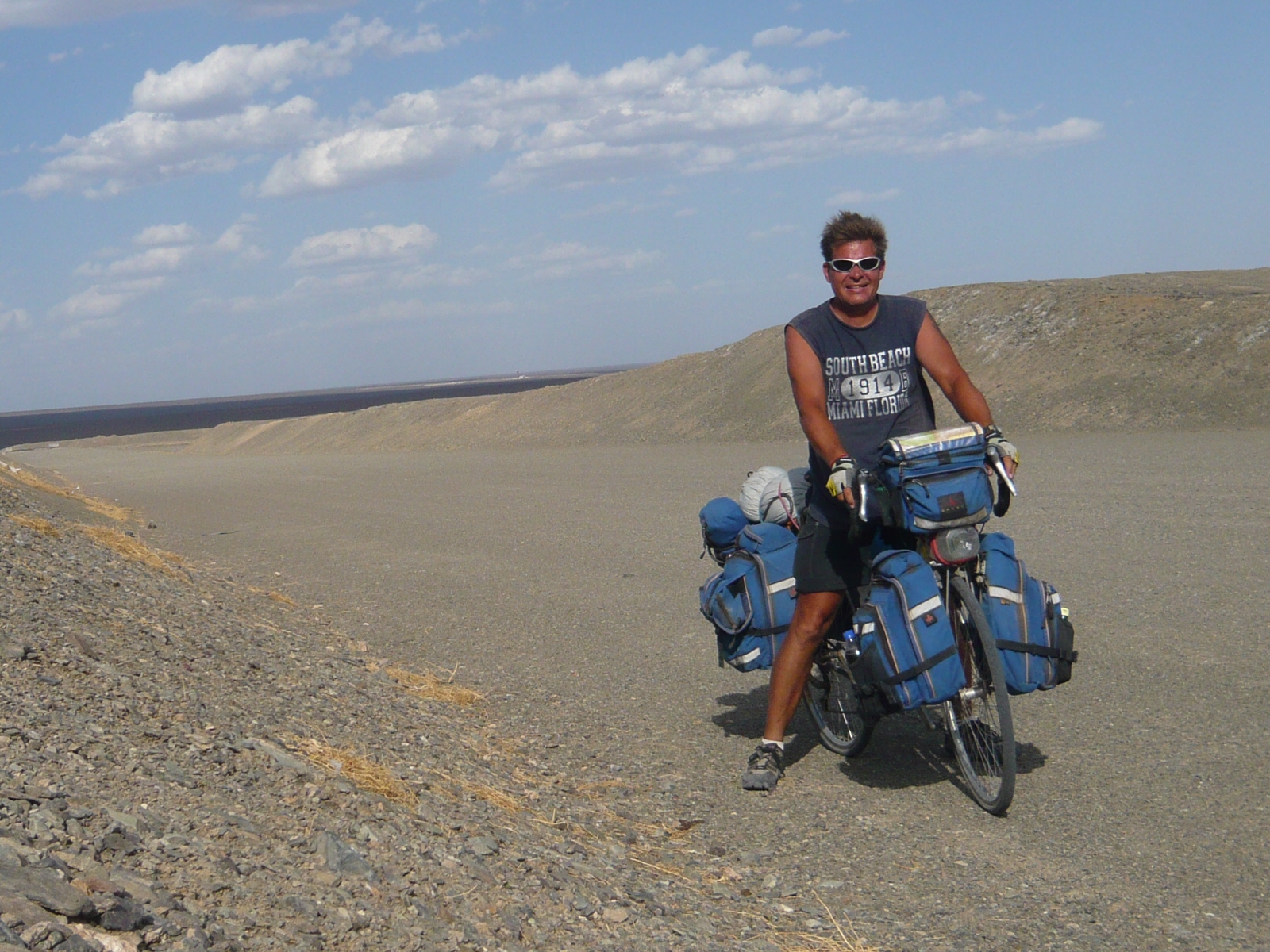
My head is pounding. Just one more kilometer. Keep the legs moving. I can’t believe it is 50 deg C. That’s 122 deg F. I feel dizzy. My throat parched. I need to find some shade. I need a rest. Do I have enough water? The next town is still 30 km away. My rear wheel seems low on air, squishy. Watch out for that rock. I need to put more sunscreen on. My lips are chapped. Do I see hills up ahead? My hands hurt. I can’t go anymore. The sun is too hot. Just one more kilometer. Where is that shade???!!!
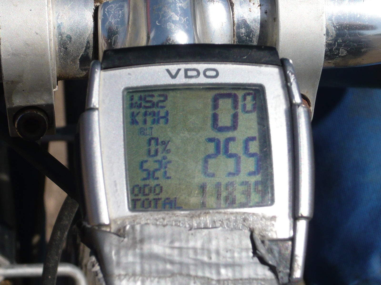
I thought I knew what hot was. I have been in Phoenix in summer, in southern Spain, in the Chaco of Paraguay. Even in south Florida in July. But nothing compares to the heat here in Turpan, the hottest place in China. From 1:00 pm to about 8:00 pm the temperature ranges between 100-120 deg F. Blazing sun and waves of heat wash over me as if I am in convection oven. One day my bike computer registered 52 deg C in the sun. That’s over 125 deg F. Check it out:
No escape from the beating sun
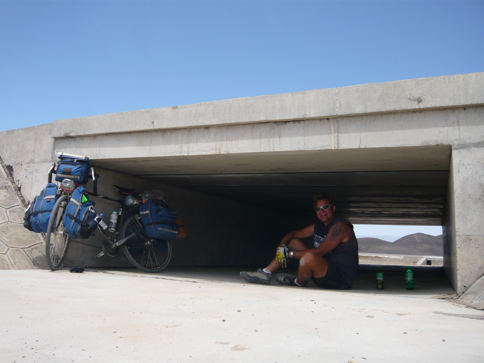
Even with a hat on I was forced to stop every few km to rest in the shade. Luckily I was on a highway under construction that had many little overpasses for drainage. I guess when it does rain here floods are common.
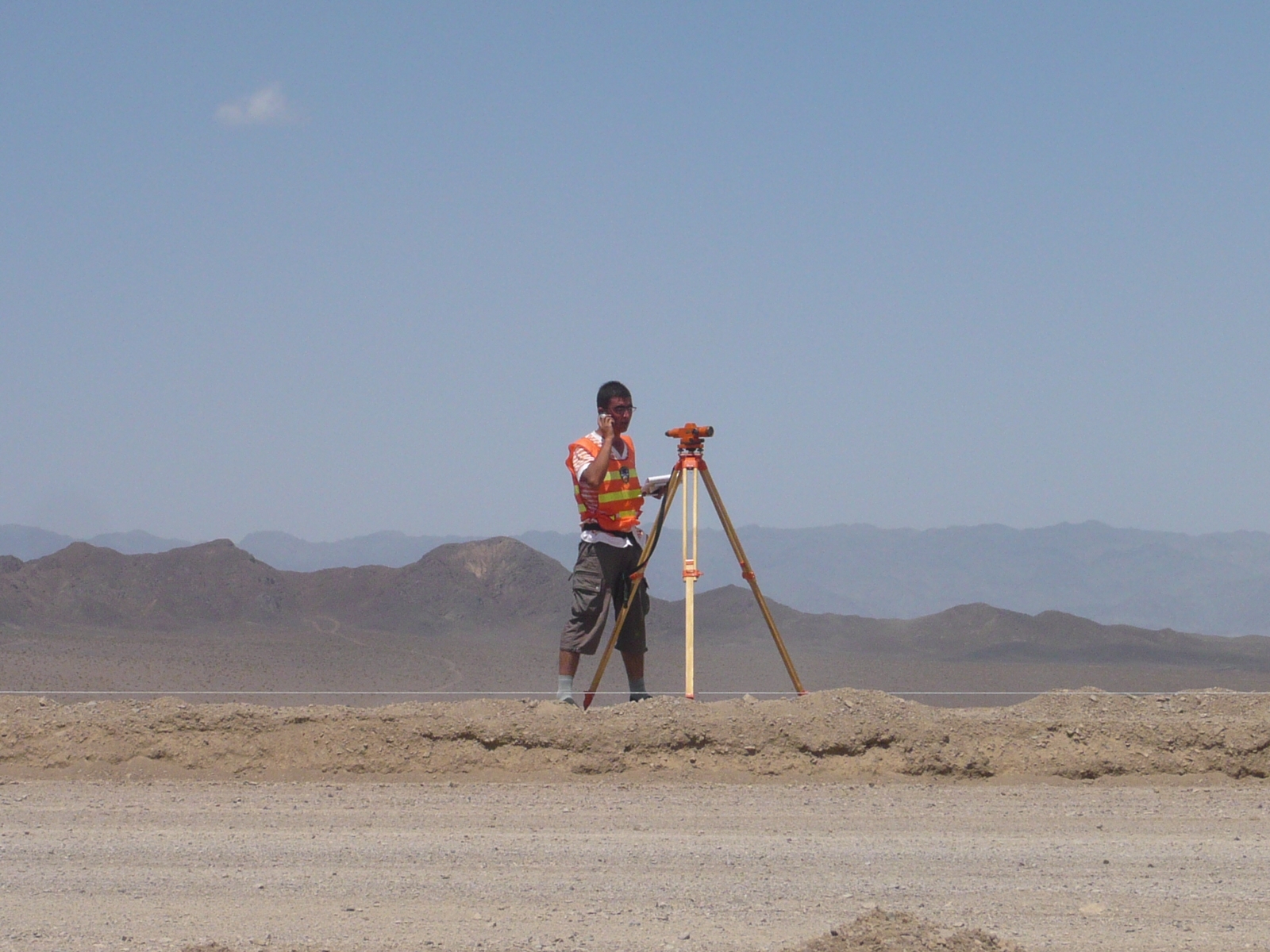
These poor souls had to work on building the highway.
Surveyors on the highway.
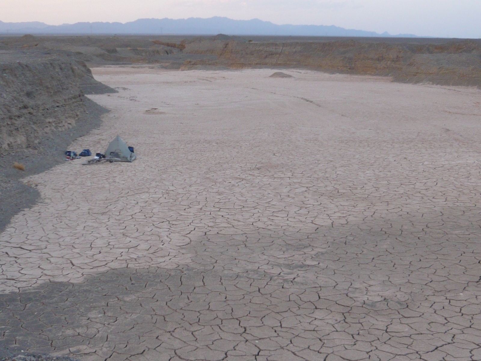
Even at night the temperature did not dip much below 100 deg F. Here is one on my campsites in a dried out gravel pit.
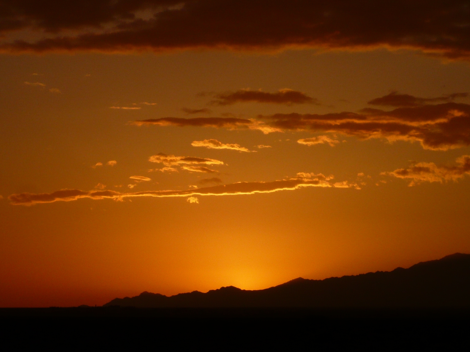
There were some nice sunsets.
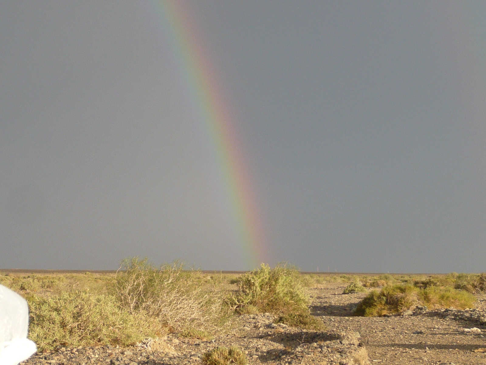
A few drops of rain produced this rainbow.
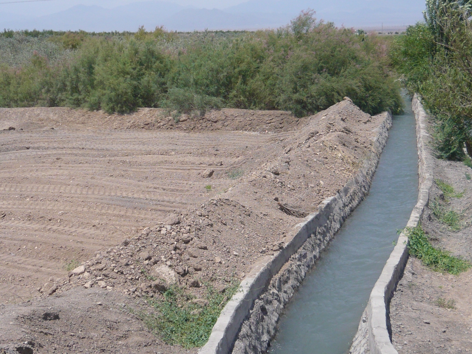
Where there’s water there is life. The only reason Turpan exists is because natural oases provide water.
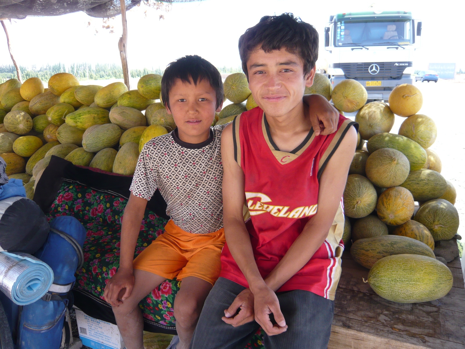
Xinjiang province has a lot more Uyghur people than the rest of China. These people are descendents of a Turkic-speaking race who were powerful in Xinjiang province around the year 800. More about that later.
Here are a couple Uyghur kids selling melons on the road side. They speak arabic and chinese.
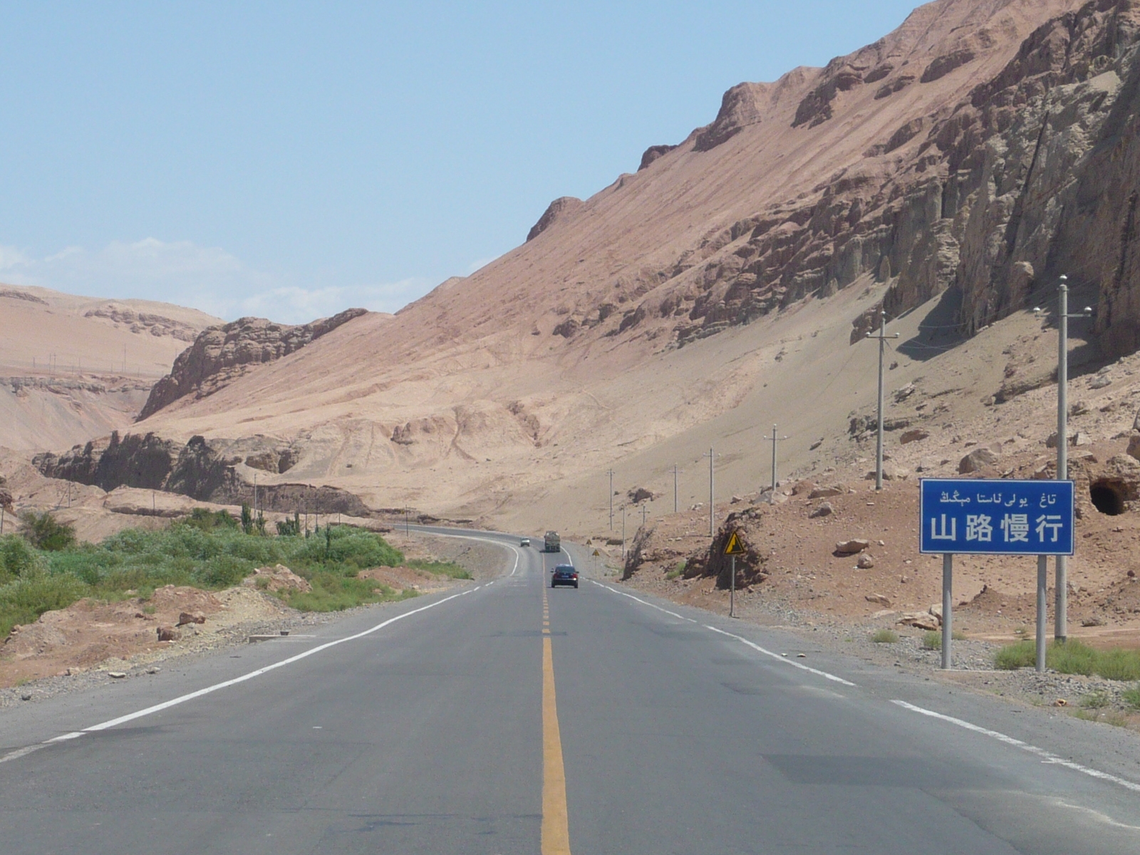
A view of the road on the way to Turpan. Note the signs are now bilingual Chinese and Arabic.
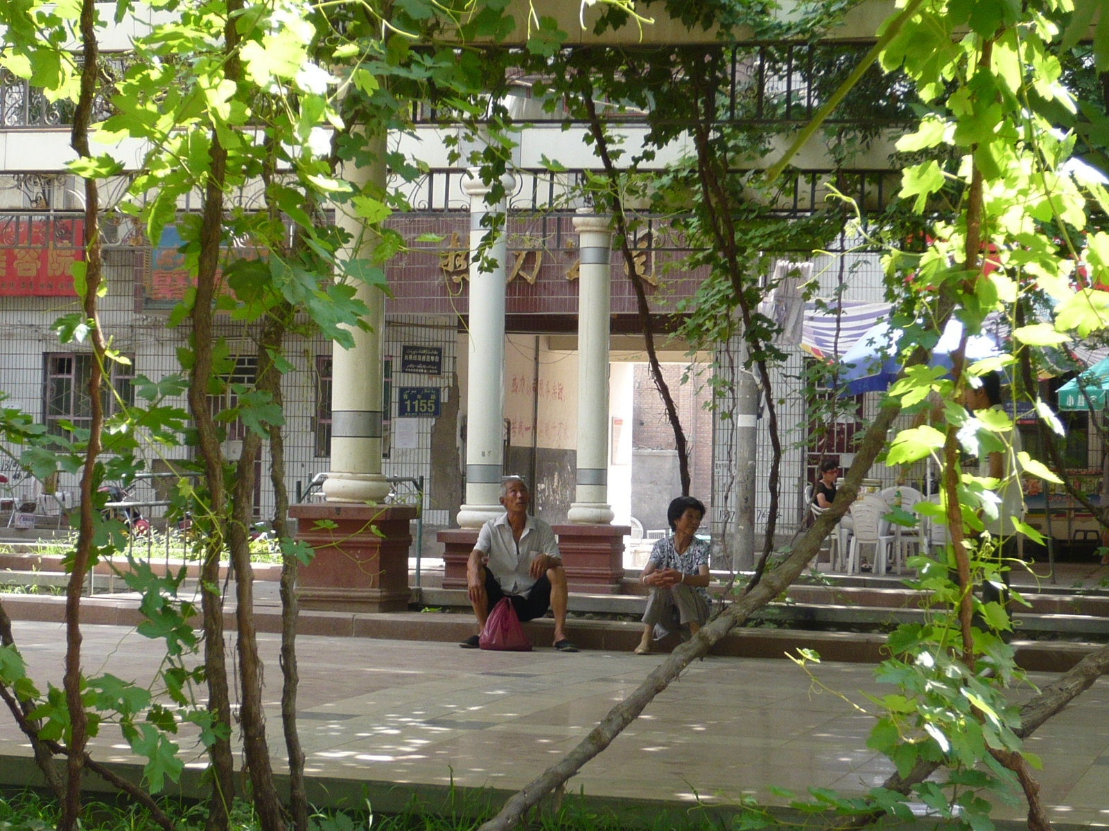
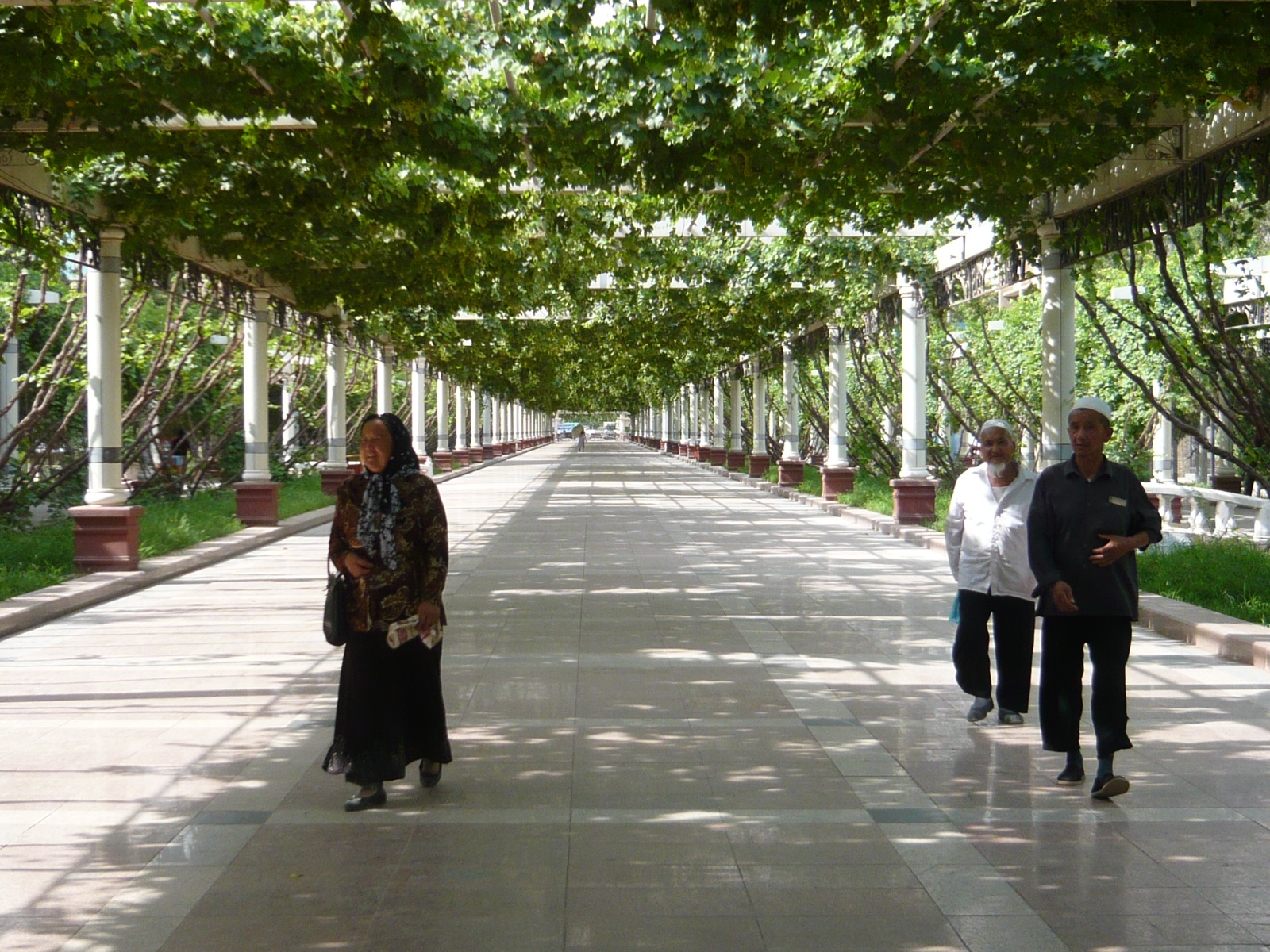
Once in Turpan I could relax for a day. Turpan is famous for melons and grapes. They built grape trellises above some of the pedestrian streets for shade.
Xinjiang Uyghur Autonomous Region
Xinjiang (pronounced shin-jang), China’s largest province, is about three times the size of France—consuming one-sixth of China’s overall geography—yet it has an overall population of less than 19 million people, slightly more than that of metropolitan Shanghai.
Historically, the natives of this region have referred to it as Uyghurstan or East Turkistan. It even has its own flag—though it is illegal to fly it in China.
Xinjiang sees more extreme winter and summer temperatures than any other place in China, as high as 50 deg C in summer and as low as –30 deg C in winter. The south of Xinjiang is home to the Taklamakan desert, the world’s second largest. The name means, ‘who goes in doesn’t come out.’ Countless stories abound about cities, towns and people having disappeared in Taklamakan’s constantly shifting sands. Xinjiang is also home to the western fringes of the Gobi desert in the north and three vast mountain ranges: the Altay to the north, the Tian Shan and Karakoram to the west and the Himalayas to the south.
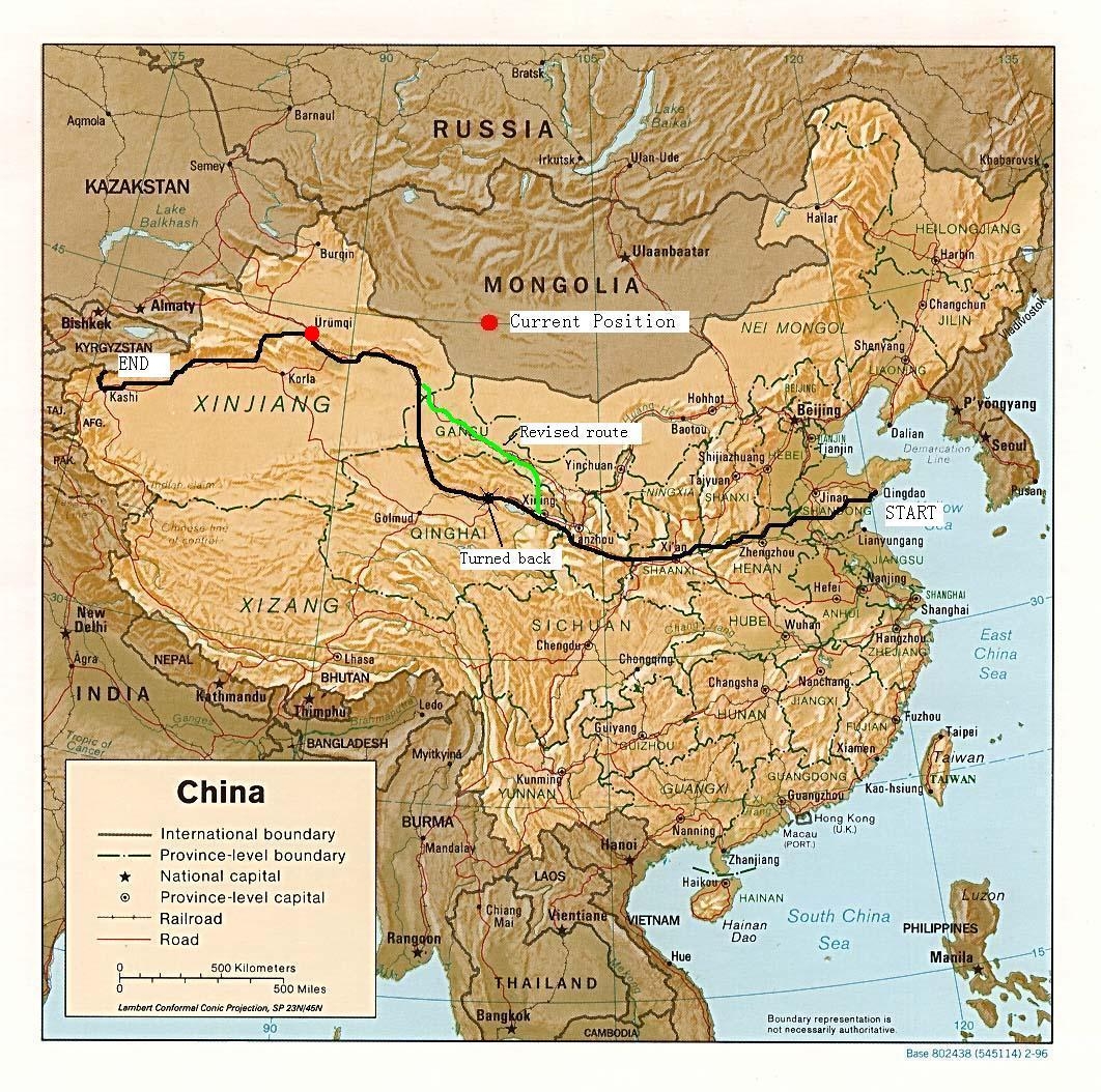
Up to 1949 the area was about 90% Uyghur, but the government has provided incentives for Han Chinese to move to the area, so that it is about 50-50 now. Xinjiang is my last province in China. I will cross over to Kyrgystan from here.
Next up: Urumqi and the famous Silk Road market town of Kashgar, my final stop in China.