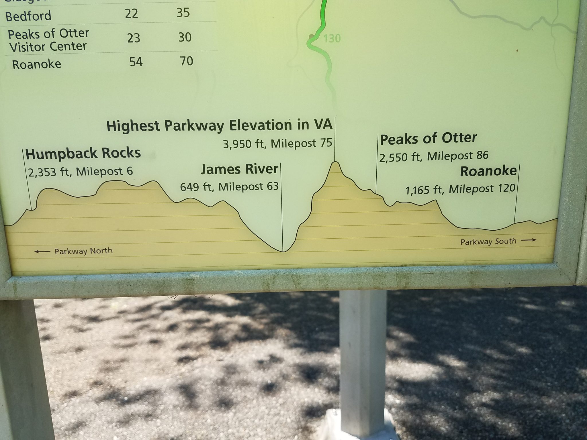
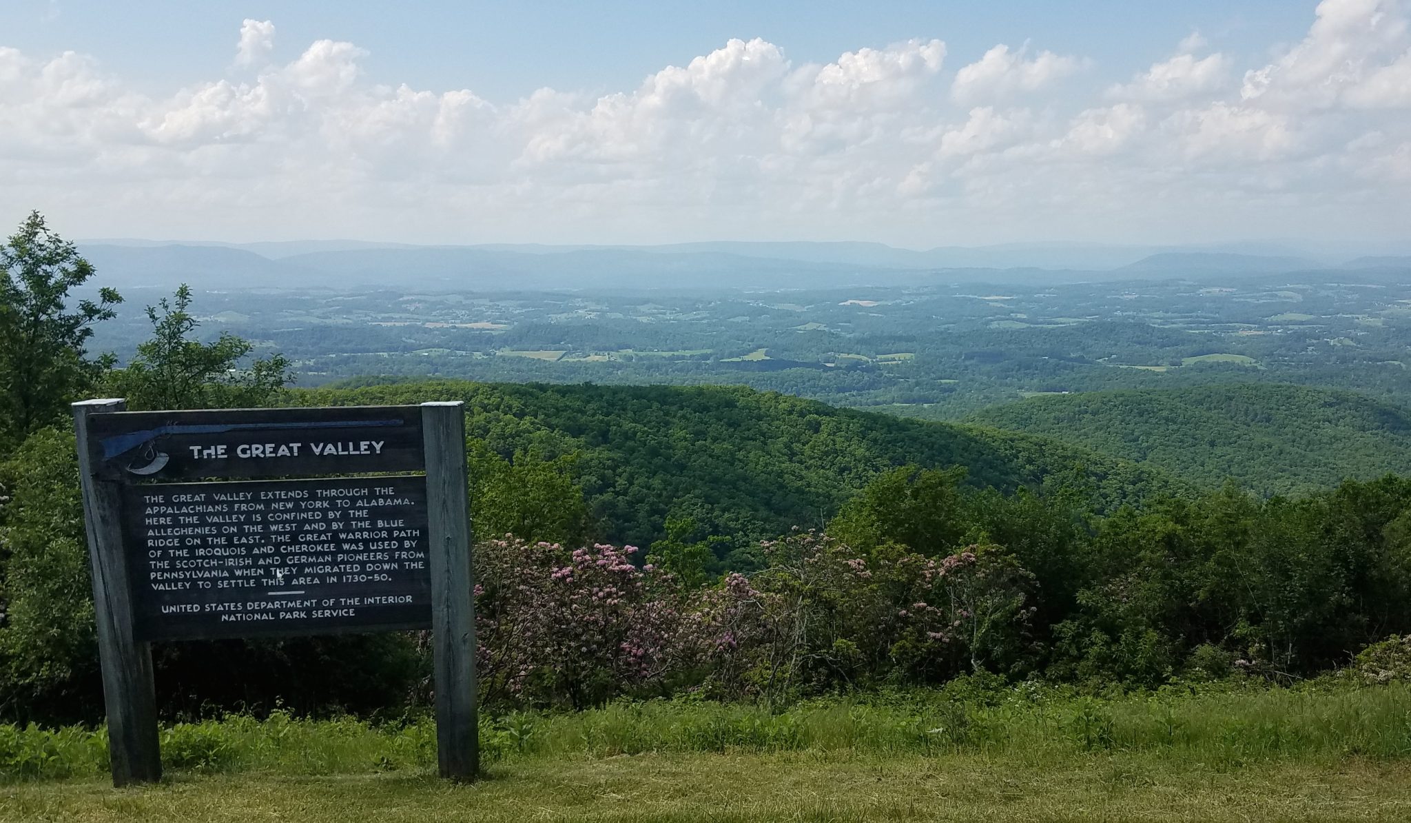
My ride continued in the mountains last week. I left Roanoke and climbed 1500 feet back onto the Blue Ridge. The weather was hot, over 90 deg which sapped my energy. The road peaked at 3950 feet, followed by an exhilarating descent of over 3300 feet in 11 miles. That was the fun part. Then I immediately started uphill again and climbed up 1900 feet which took about 3 hours.
One problem with the Parkway for cyclists is that there is not a lot of accommodation. In a car you can easily drive off the Parkway and get a motel then drive back up the next day. One day there was no campground available and free camping is difficult because of the steep slopes, so I zoomed down 1500 feet into a town to get a motel. I dreaded the thought of riding back up those 1500 feet the next day. After checking my map I realized even if I did that there was again no accommodation the next day. So I spent a day riding in the valley before I climbed back up the ridge. I was now on Skyline Drive, an extension of the blue ridge parkway.
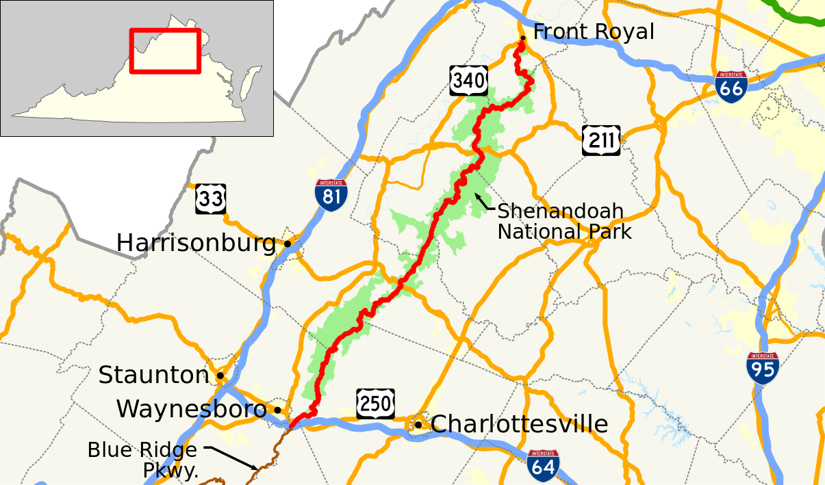
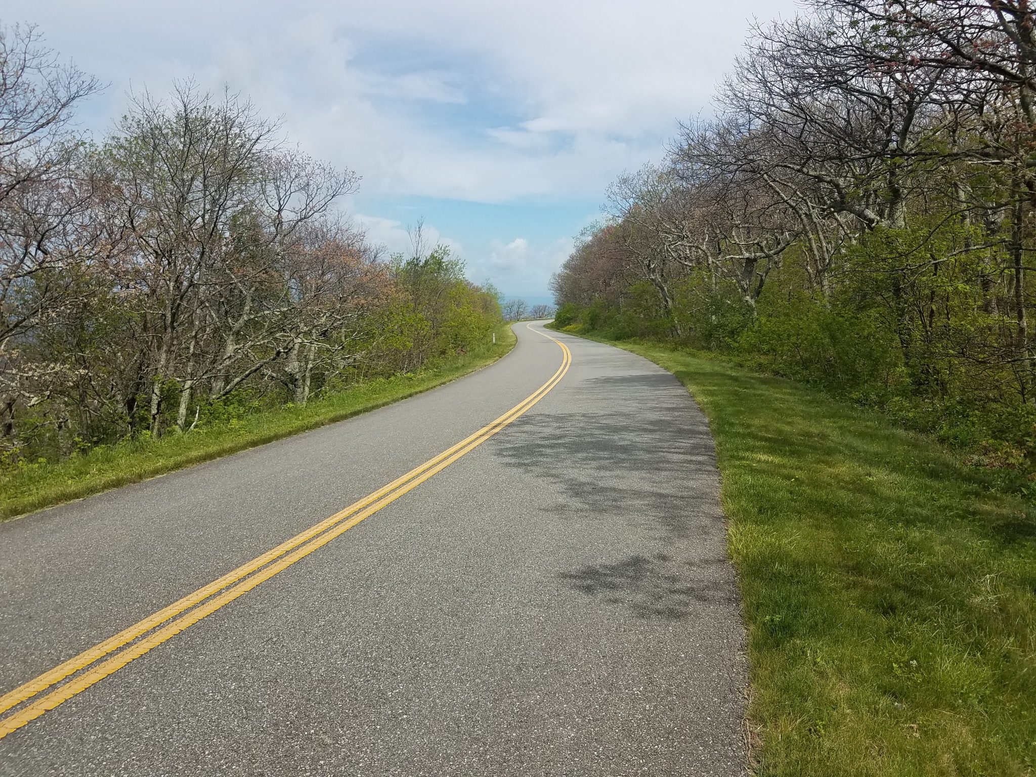
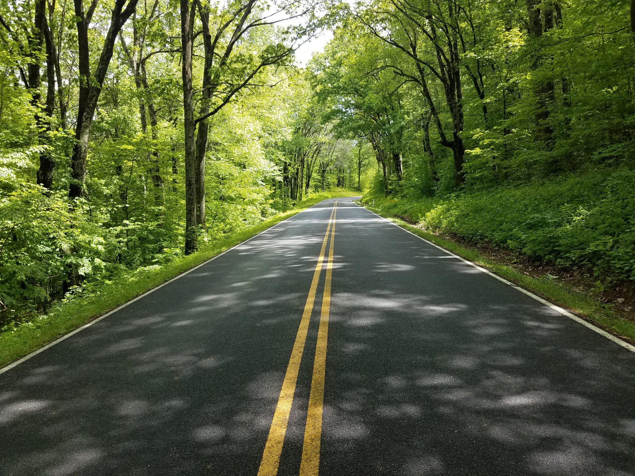
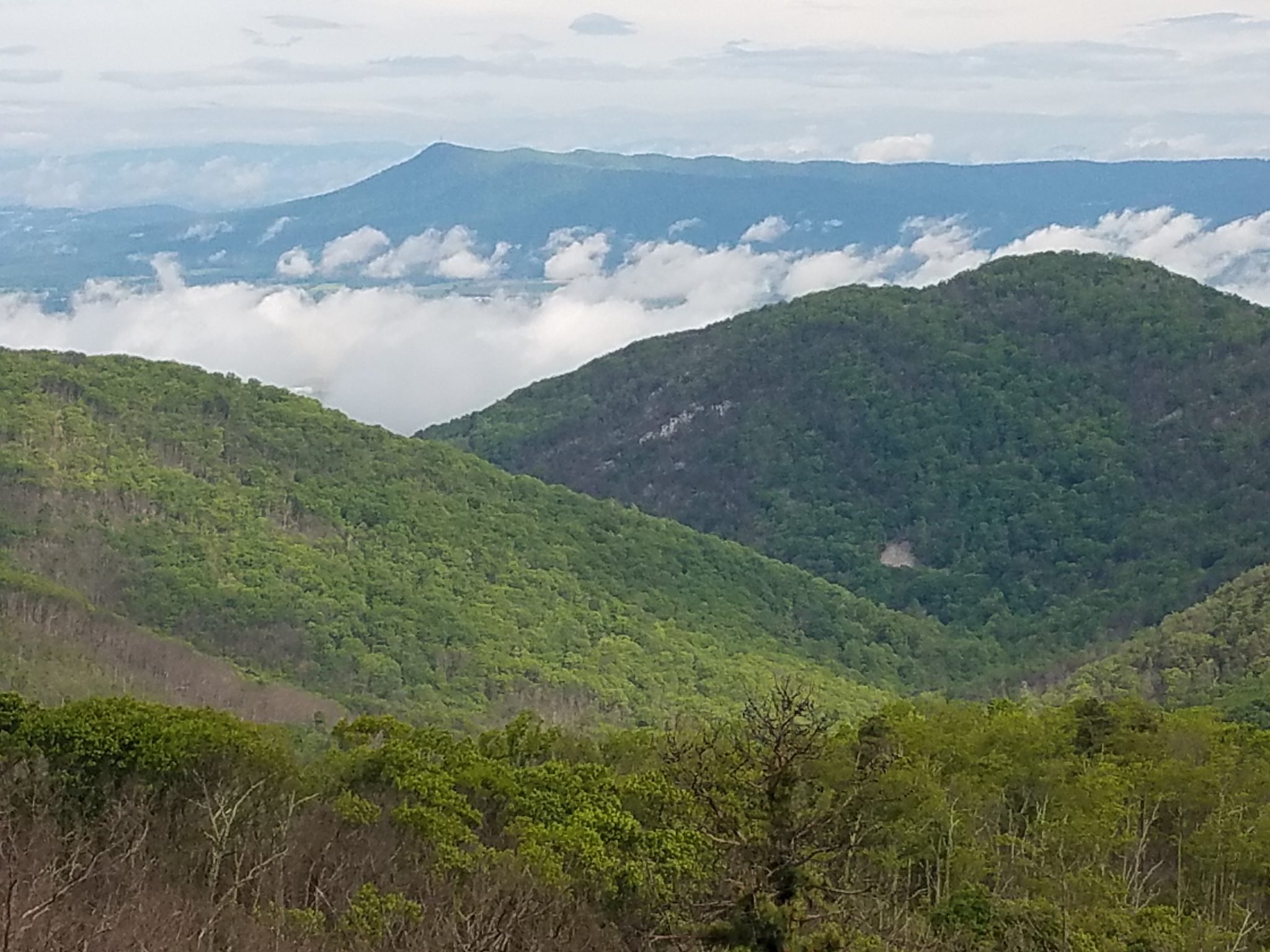
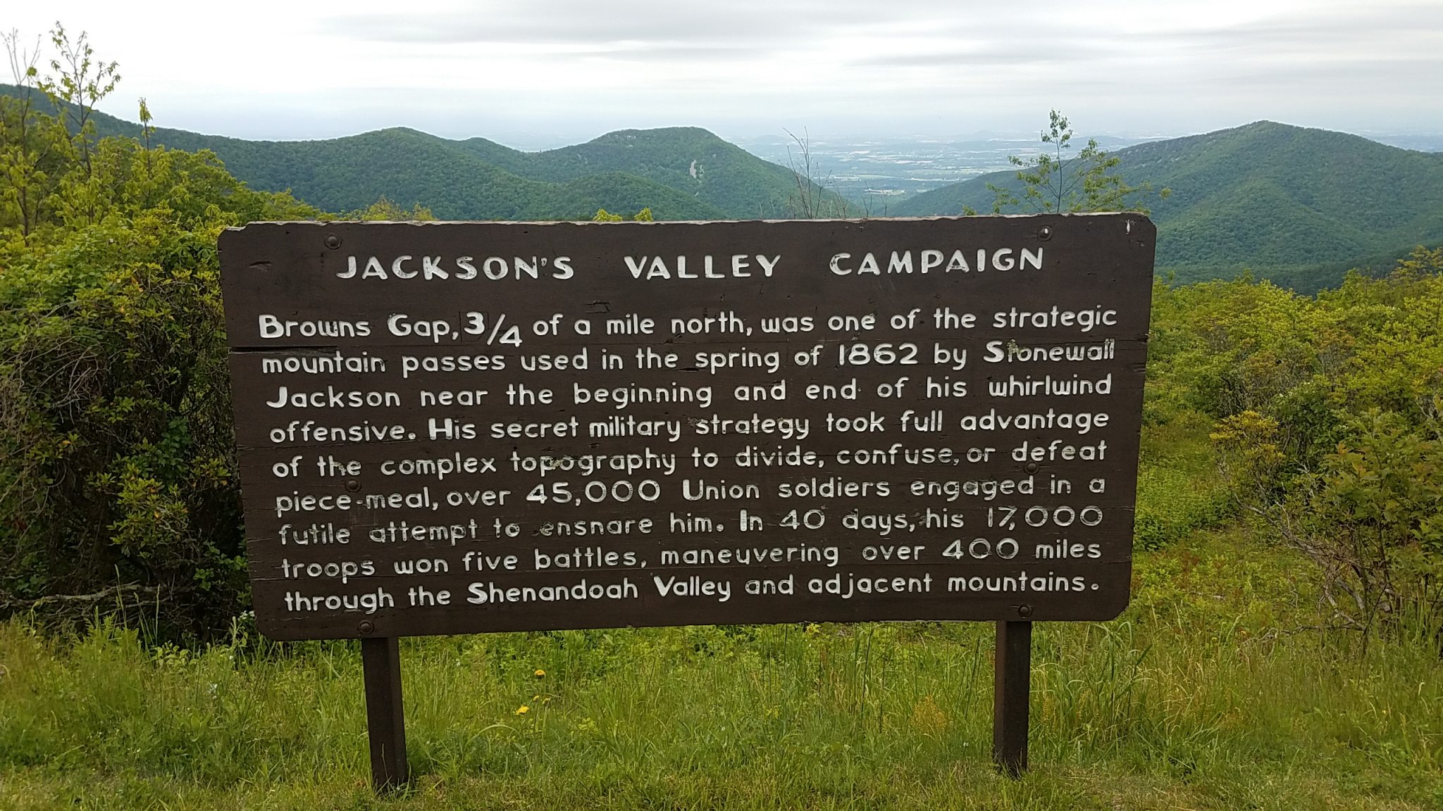
Skyline Drive runs 105 miles north and south along the crest of the Blue Ridge Mountains in Shenandoah National Park in northern Virginia and is the only public road through the park. It was built in the 1930s and has over 70 overlooks where you can admire the surrounding valleys and mountains. Skyline drive peaked at 2600 feet but with many up and down hills. I finally left the ridge and zoomed down into Front Royal immediately joining hundred of cars, trucks, busses and normal city traffic. It was a shock after the quiet and beauty of Skyline Drive.
Google maps gave me a route to Pennsylvania but it was on some terrible high traffic roads. 55 mph two lane highways with no shoulder. After about 5 minutes I thought, “this is suicide”, so checking maps again I found some smaller county roads which I turned on as soon as I could. These back roads are a lot quieter but also a lot hillier, with incredibly short, steep hills. I am making less mileage but I feel a lot safer.
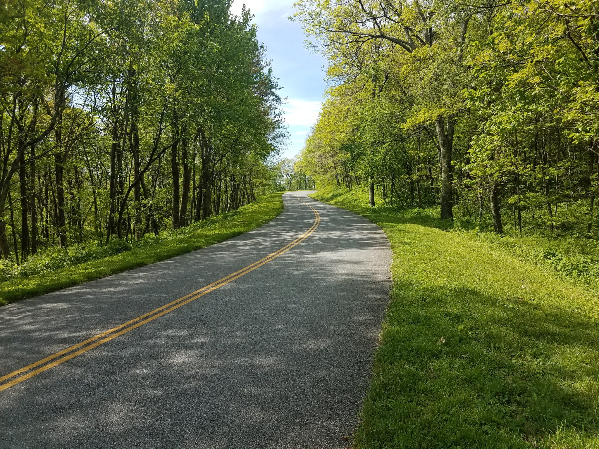
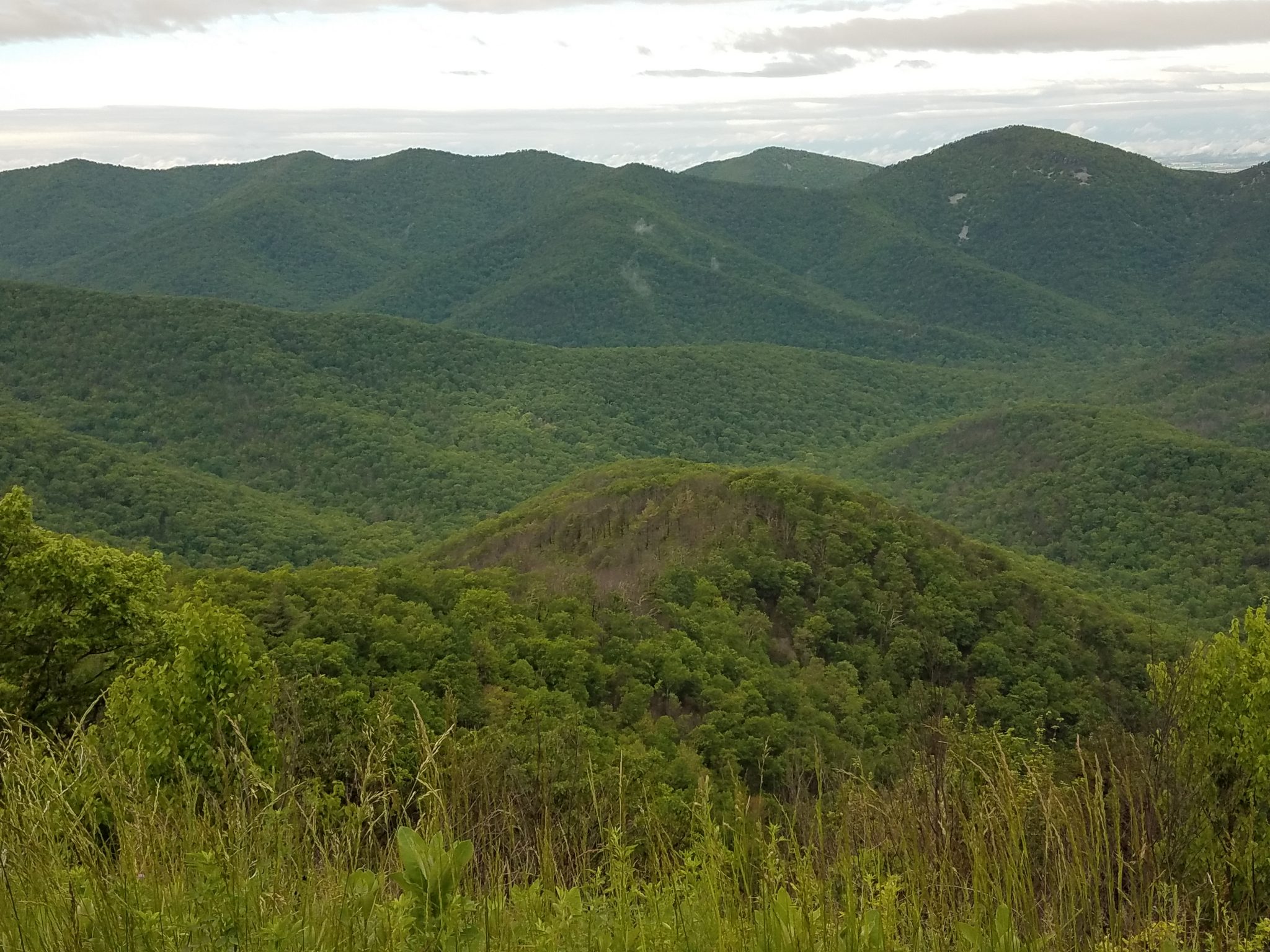
On to the photos. Here is a map of Skyline Drive and some views from the ridge.
Here is a profile of part of the ridge I rode on. Hardly a flat spot. It is either up or down.
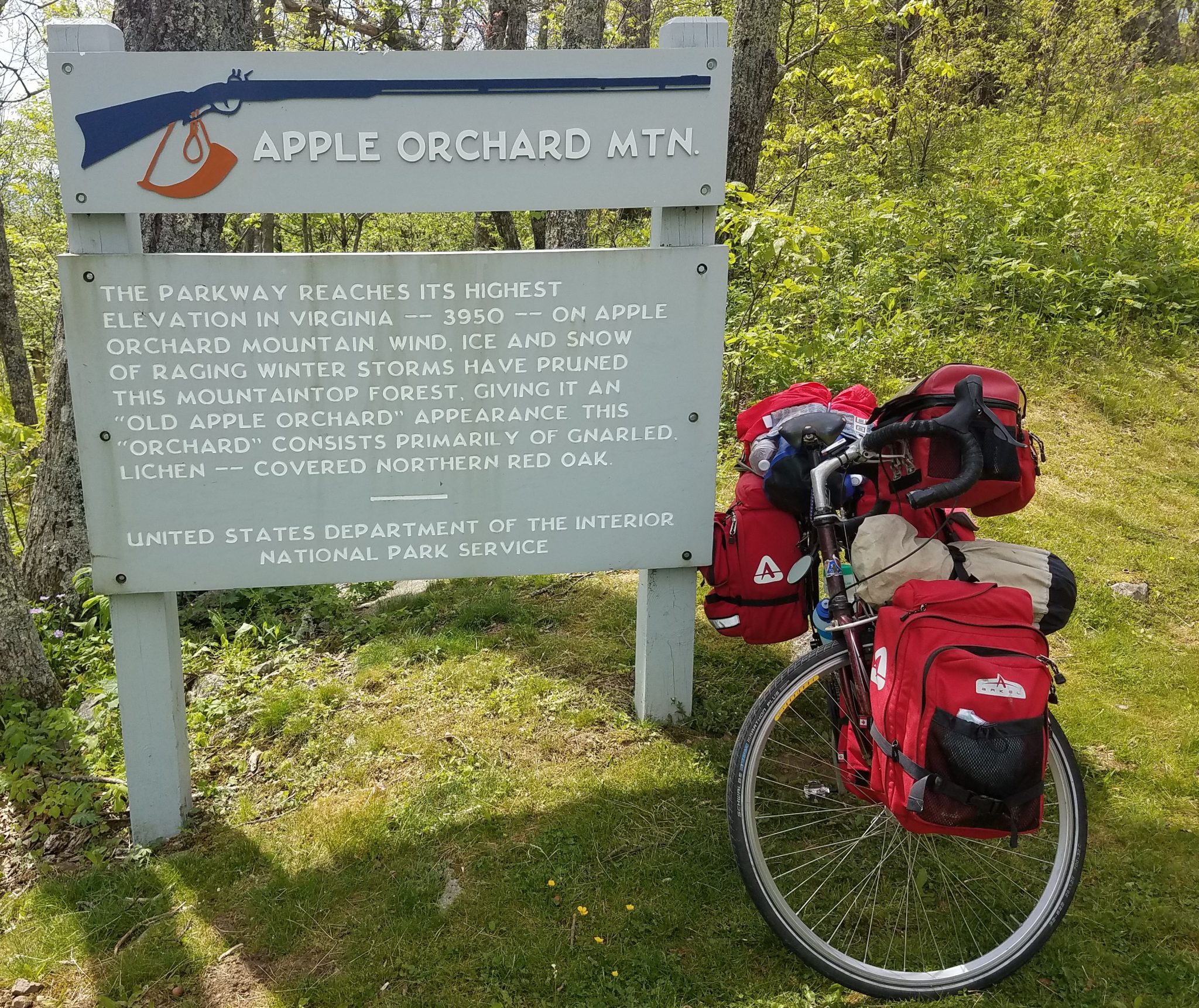
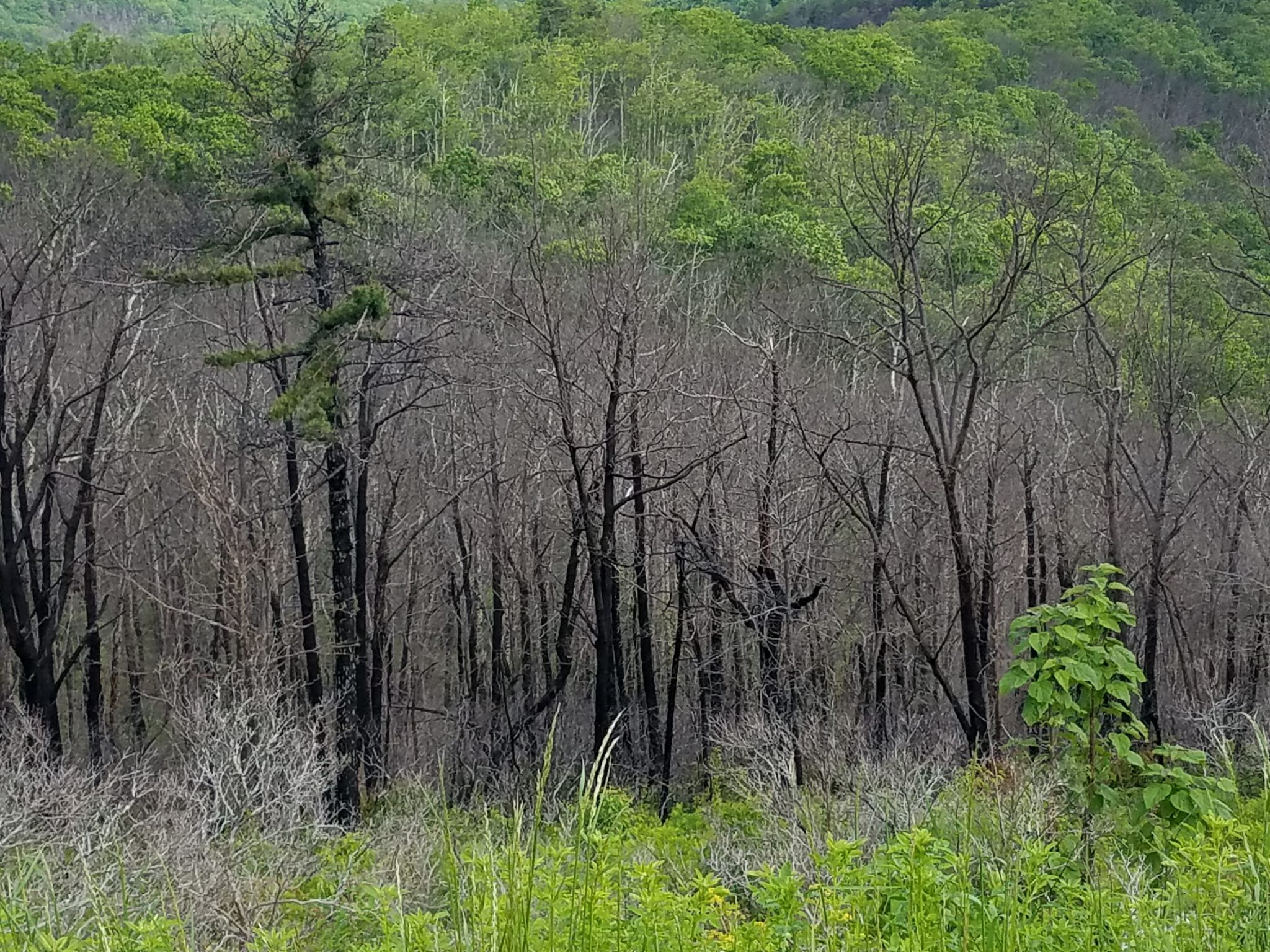
Near the highest point–the old apple orchard.
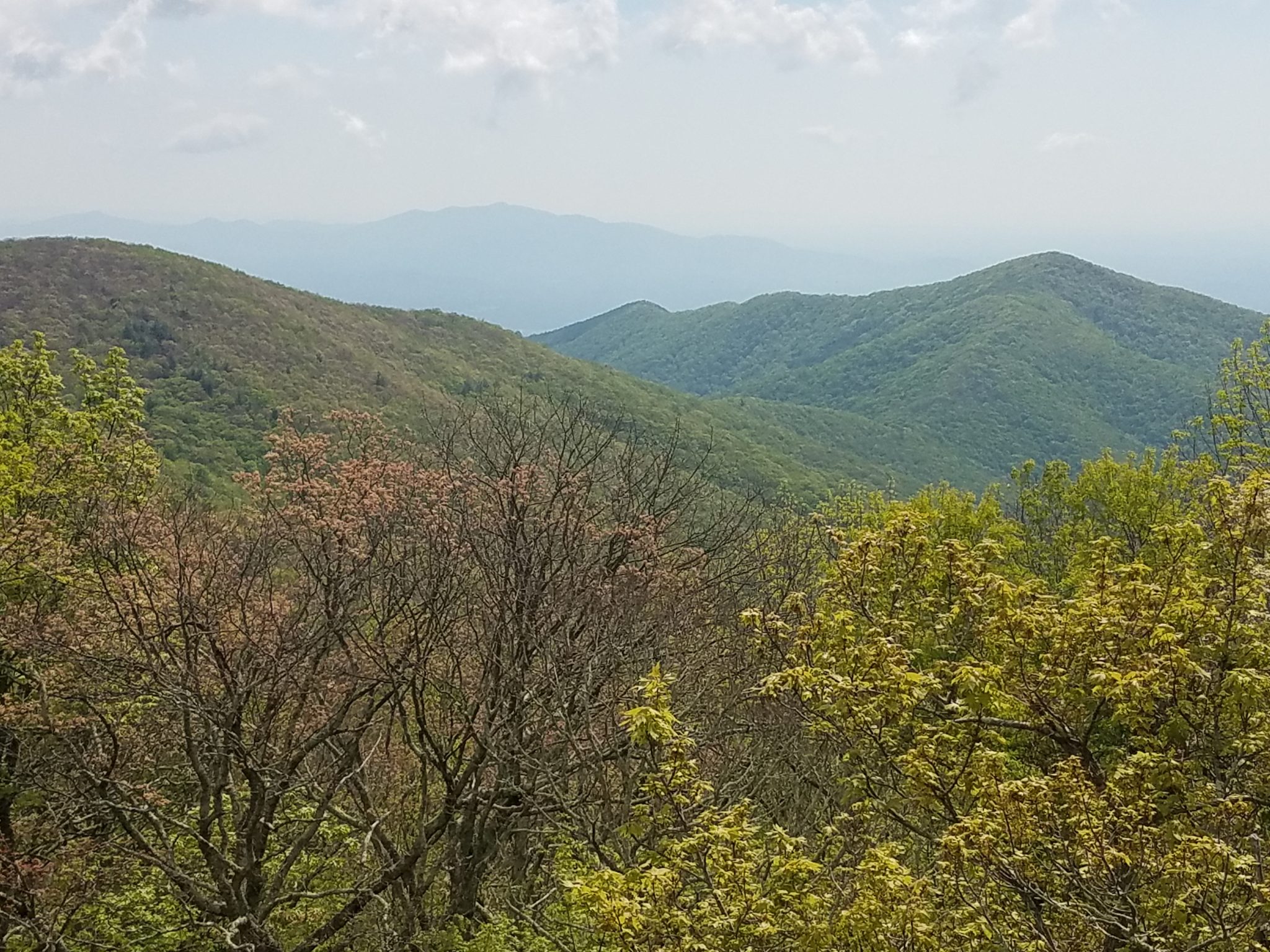
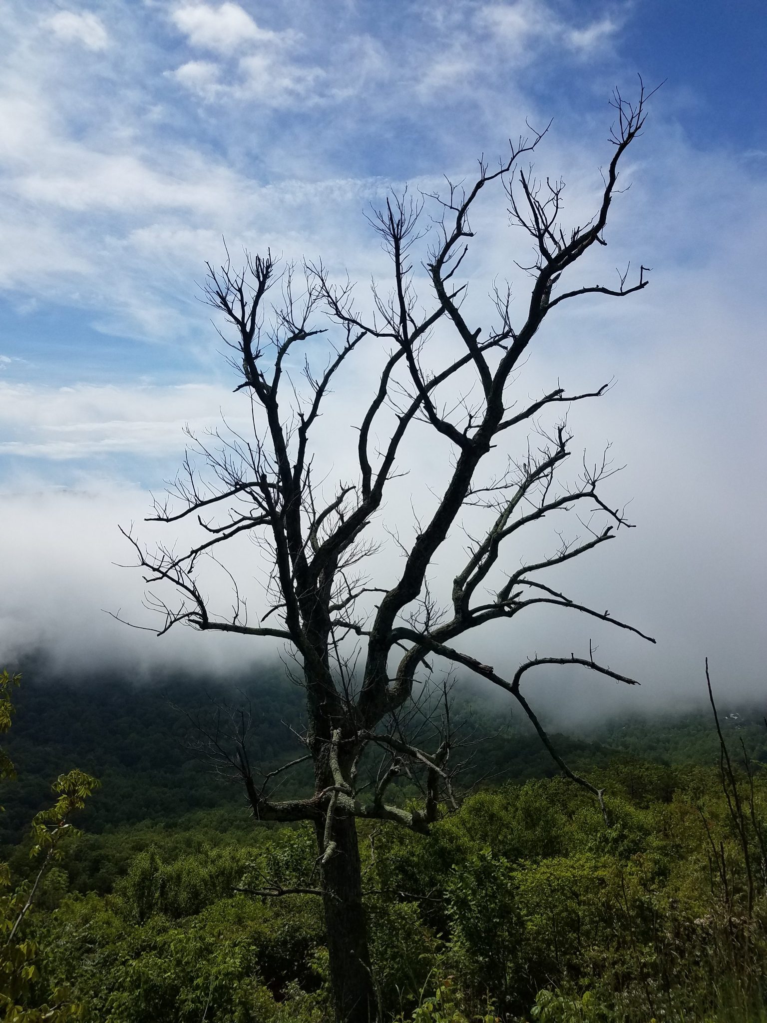
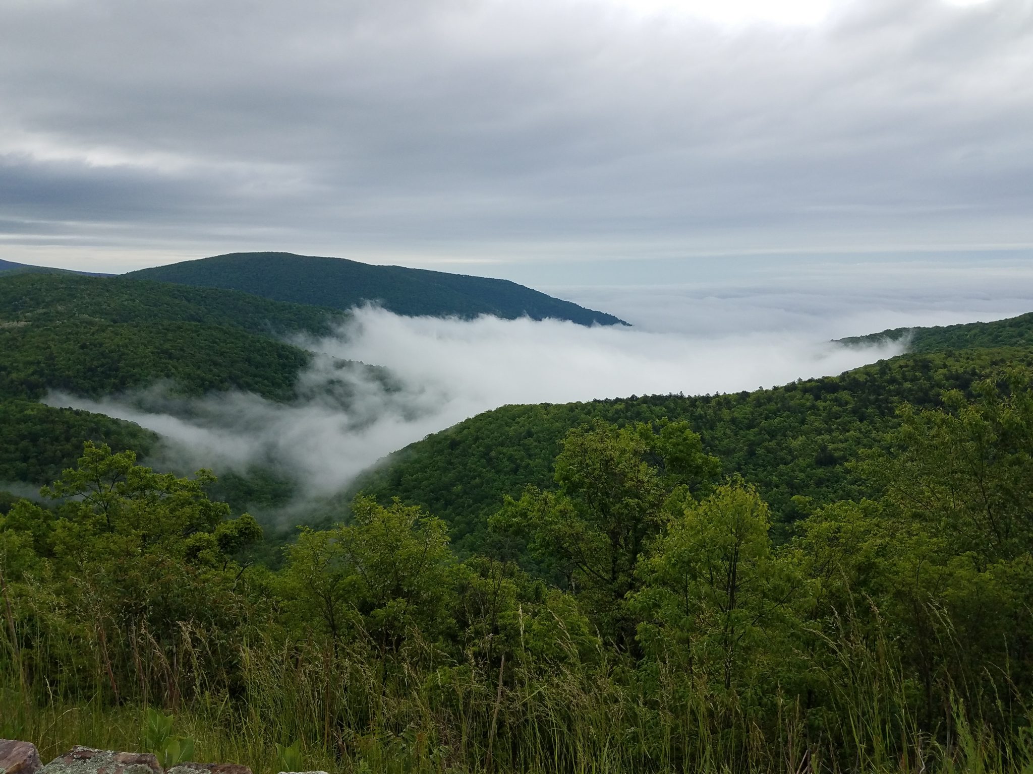
Fog rolling into a valley.

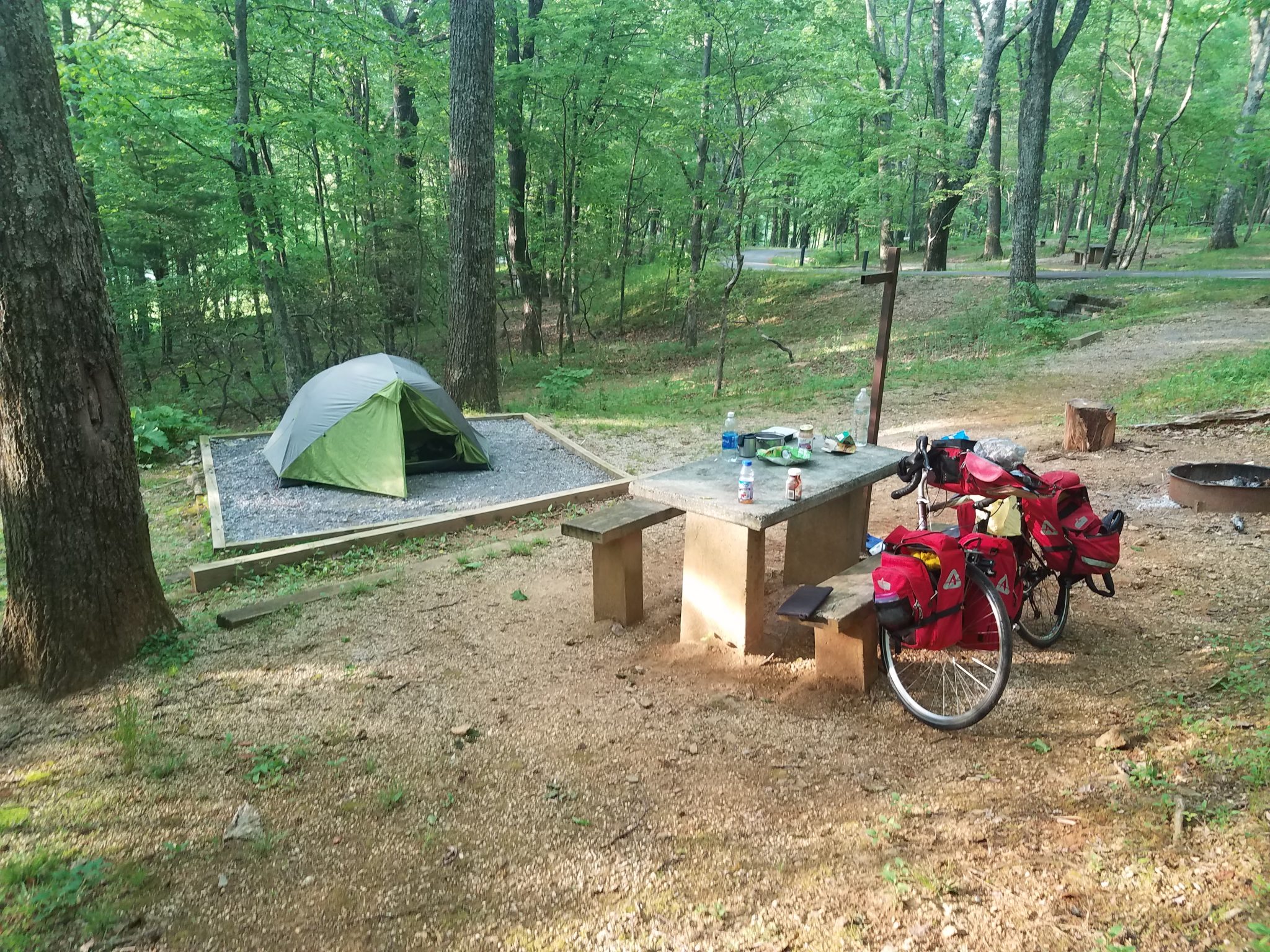
One of my campsites on the ridge.
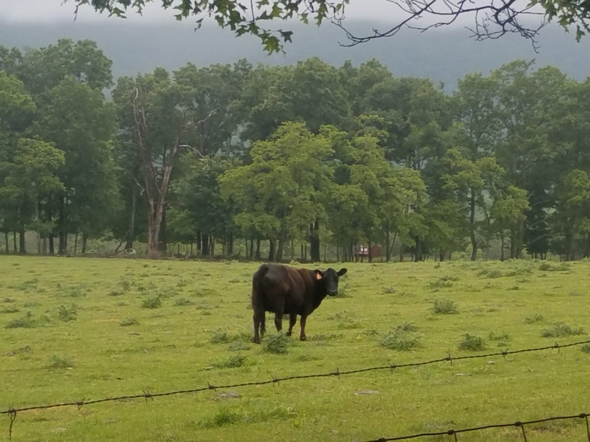
Once out of Shenandoah National Park, cows were my only companions on the back roads.
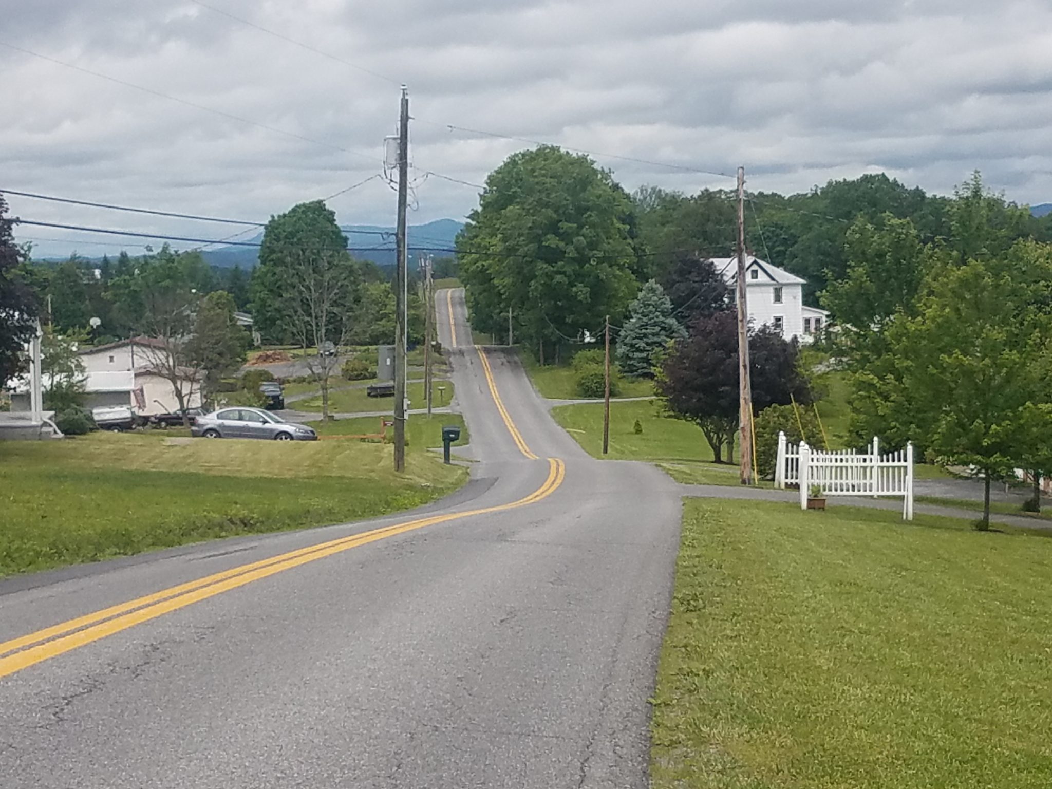
Typical hills in West Virginia.
I am currently in Maryland, about to cross into Pennsylvania. The weather has been cloudy and drizzly which makes riding a lot less fun. I camped out one night and it rained all night. But my tent held up–warm and dry inside.
More hills ahead in Pennsylvania but hopefully not as challenging.
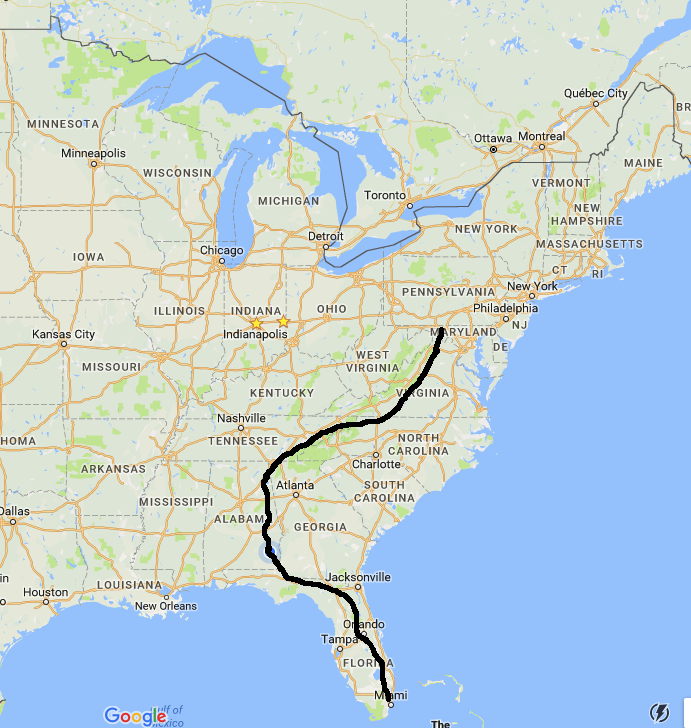
My odometer just rolled over 2000 miles.