It’s been a rough couple weeks. I did not realize Utah was so mountainous. I never could have done it without my little helper. From Provo I continued southwest through Mona, Leamington and into Delta, where I hooked up to US hwy 50, aka the Loneliest Road in America. I thought this meant it would have hardly any traffic but no, it was still busy with campers, trucks and cars. Can’t get away from them. But it was sparsely populated, with small towns only every 50-60 miles and nothing in between, which required careful planning for water and battery charges.
The weather was flaky too. Several days of drizzly rain which, when coupled with the high altitudes, made for some real cold, wet, miserable days.
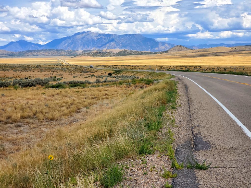
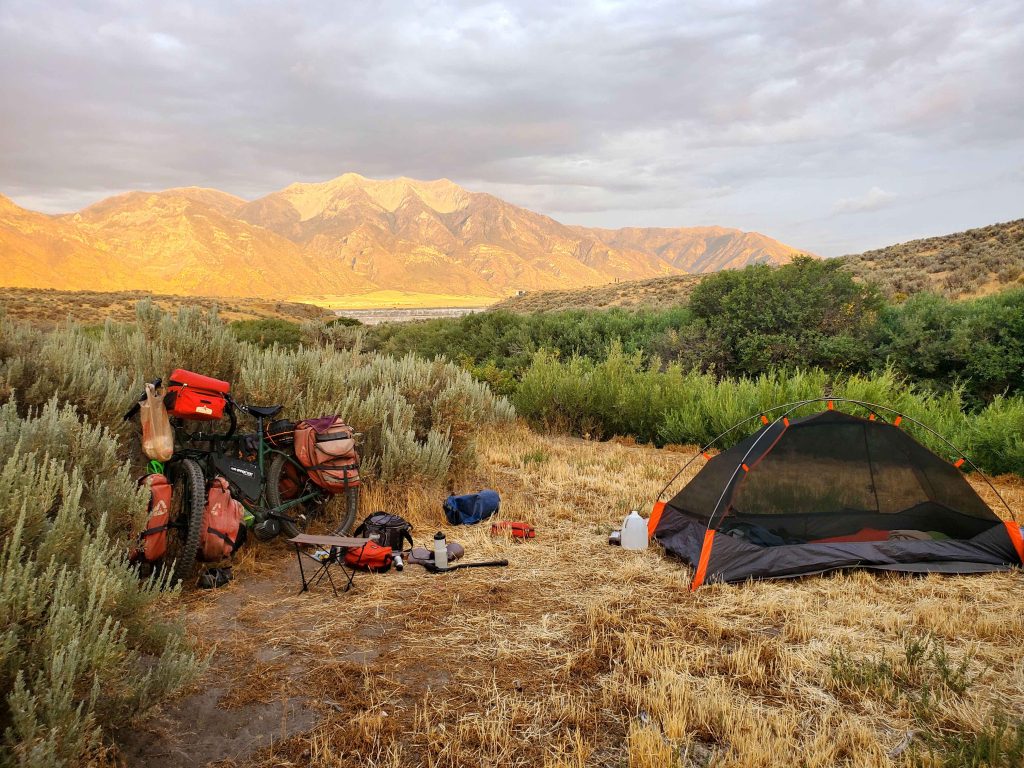
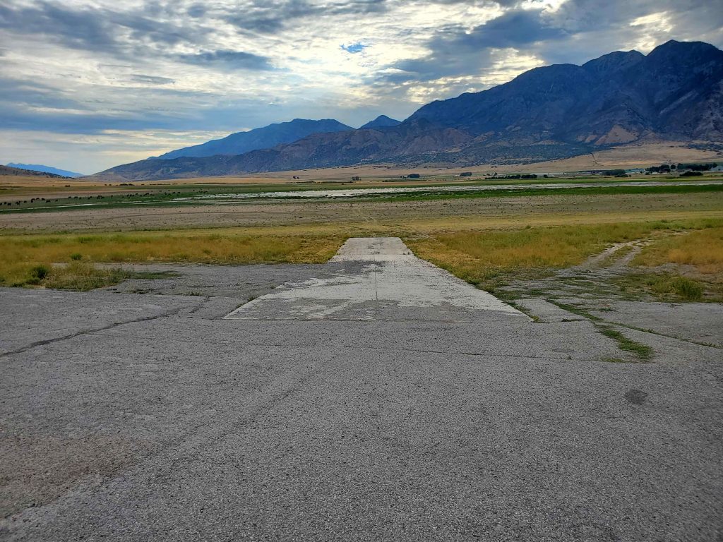
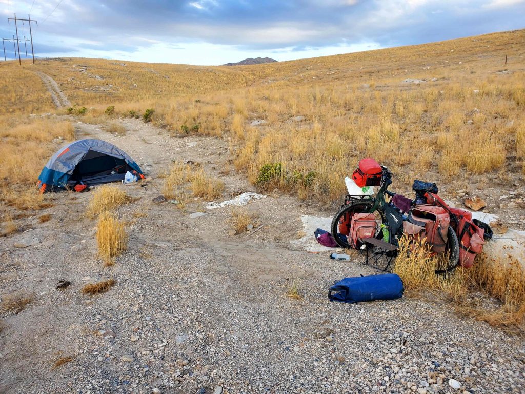
Here are some shots from west Utah as I made my way toward Nevada.
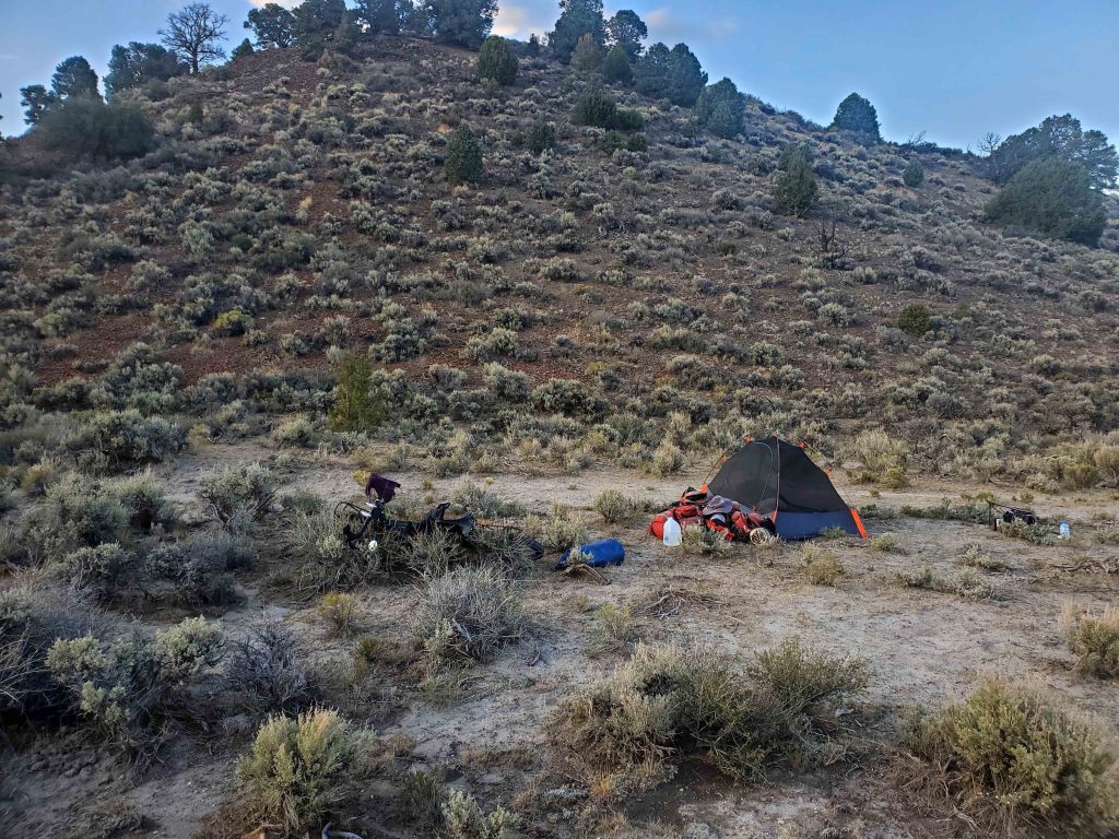
Typical campsite. Nice when it wasn’t raining.
Near Mona, Utah I saw a reservoir on my map. Hoping to camp near it, I rode by but it was just gone. Dried up. There was a small puddle where a large reservoir used to be. The drought is real. Here is the boat ramp that used to go into the lake.
Campsite, western Utah.
Did I mention Utah was mountainous?
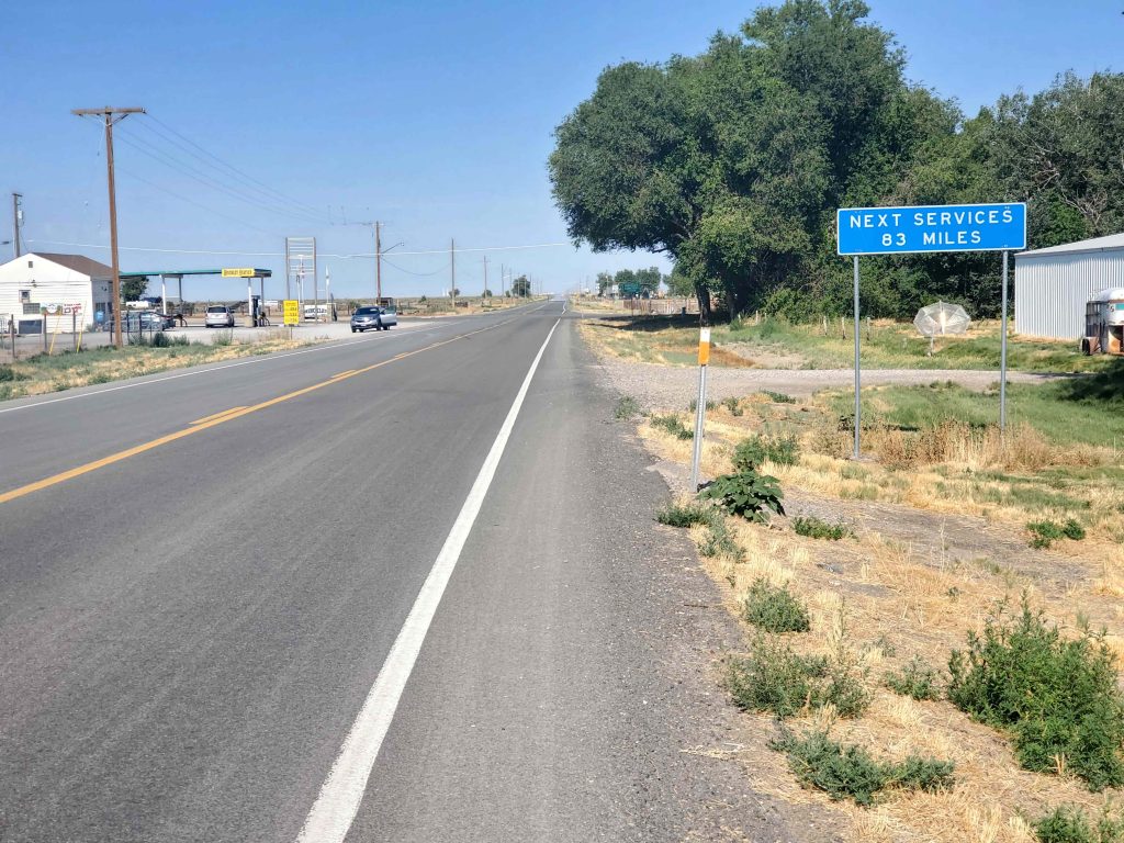
Planning is crucial here due to the long distances between water stops. 83 miles at 6 mph average is about 14 hours of riding. I know from experience that I use about 0.75 liters per hour on a hot day. So for 14 hours that’s 10.5 liters. I need about 2 liters when camping for cooking, cleaning, drinking, etc. So that means I better have about 12.5 liters when I leave that place. A liter of water weighs 2.2 lbs, so that means I need to carry 27.5 lbs of water, plus ice, which is a lot. It’s a pain but it has to be done. A few people did stop and offer me water though.
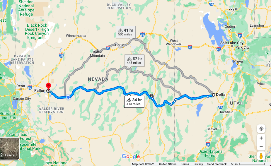
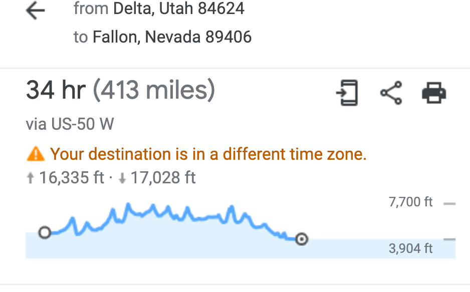
Here is the Loneliest Road in America which I rode from Delta, Utah to Fallon, Nevada. 413 miles.
Here is the elevation profile. 16,300 feet up and at least 10 major summits. Even with my little helper it was brutal. Going downhill was great though. Glad I was wearing a helmet this time.
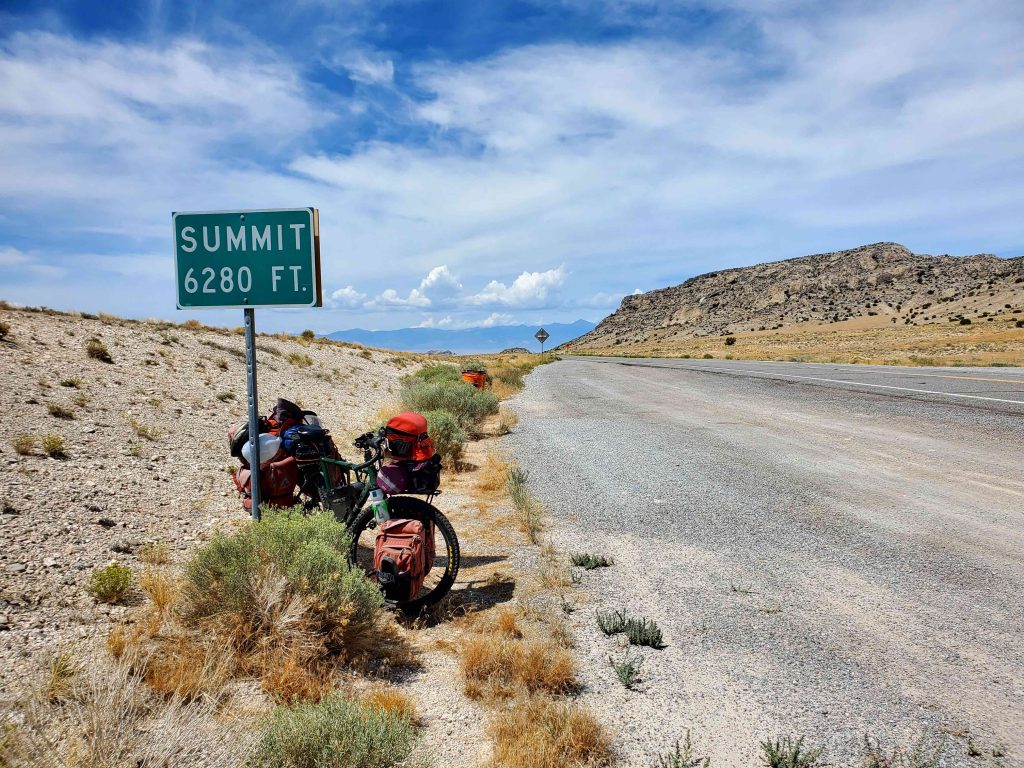
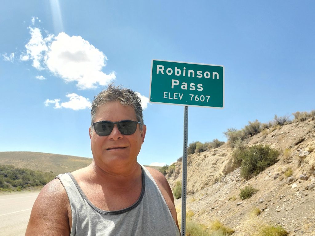
Here are some photos of that trip which took me about 10 days. One of many summits. This one on a rainy day.
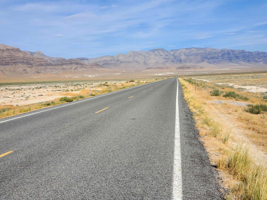
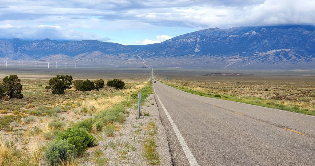
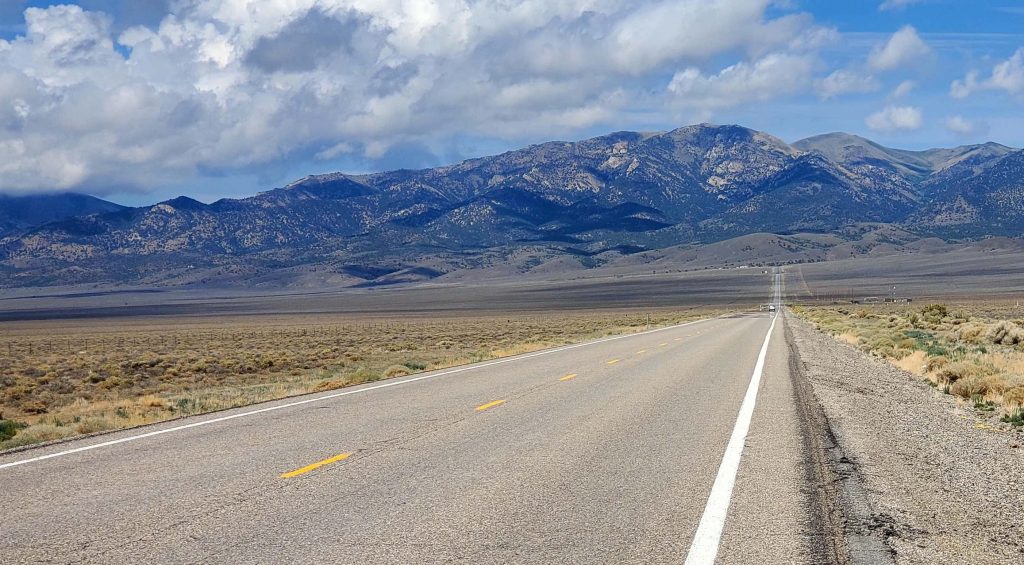
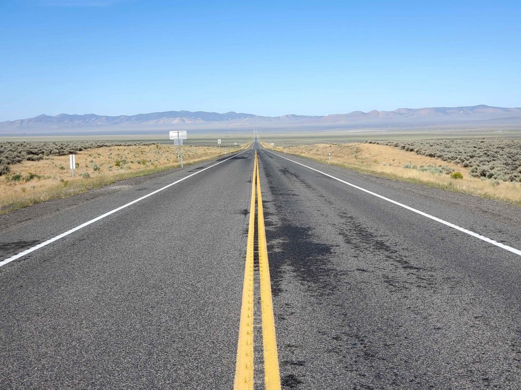
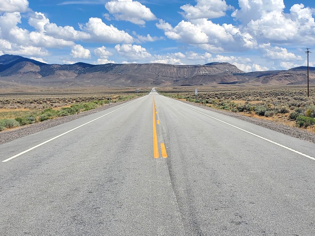
Typical road. You can see for miles.
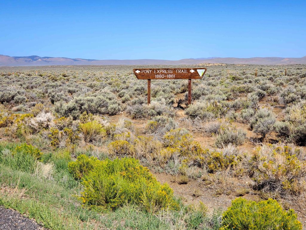
A lot of the trip was along the former pony express trail, which was pretty cool.
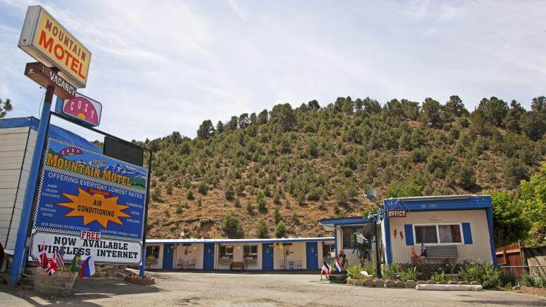
There are towns along this road, thankfully, where I managed to get cheap motels to dry things out or just get a good rest and stock up on supplies. Some of the towns I went though were Ely, Eureka, Austin, and Middlegate. These oases saved me. Here is the motel I stayed at in Austin.
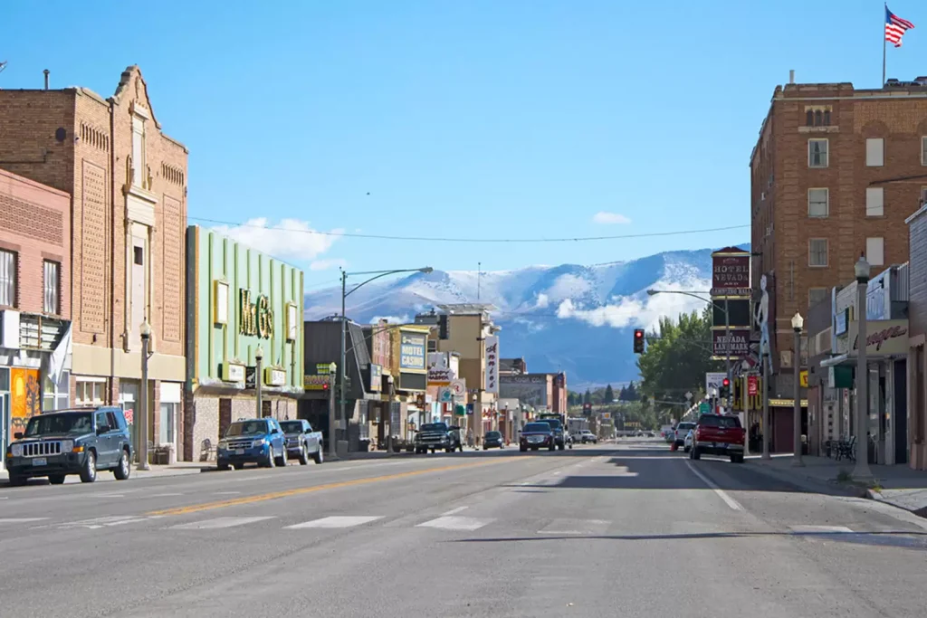
The town of Ely, where I arrived soaking wet from a day in the rain.
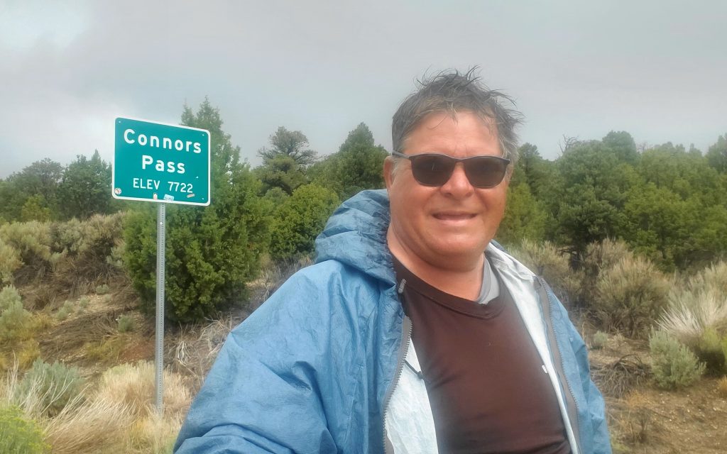
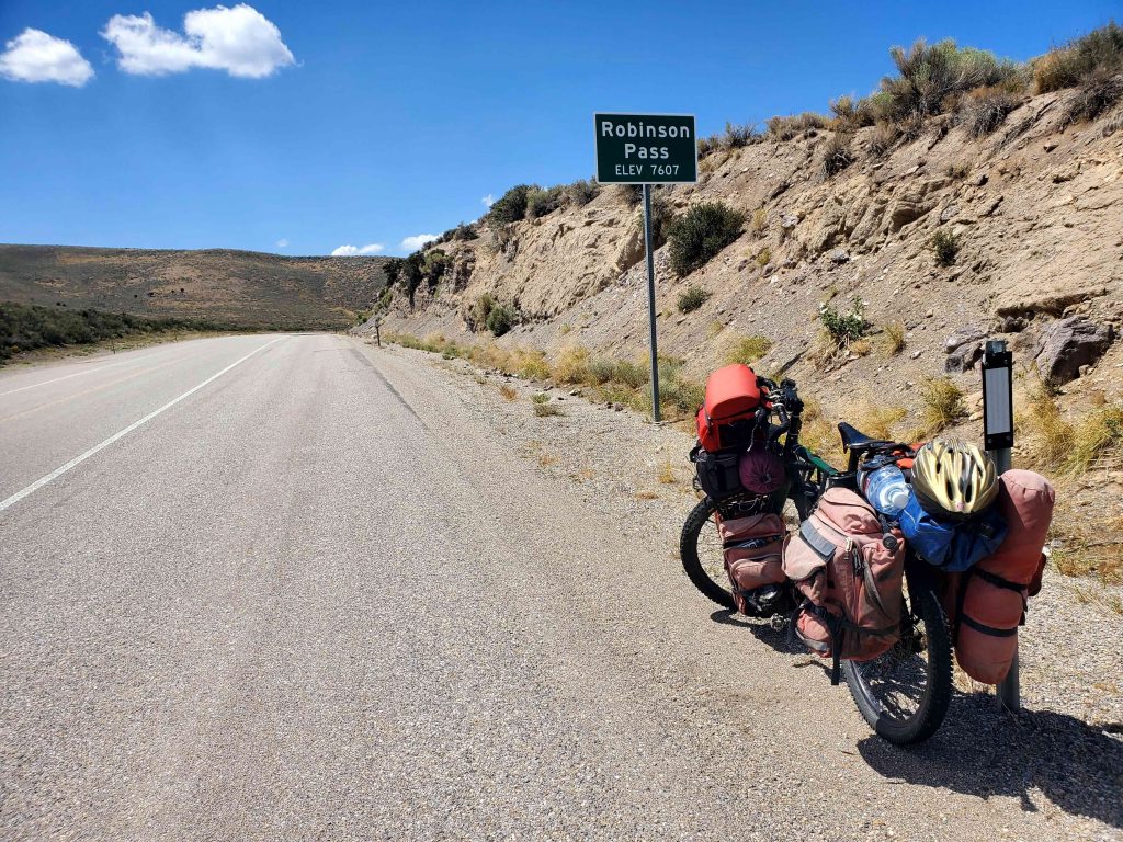
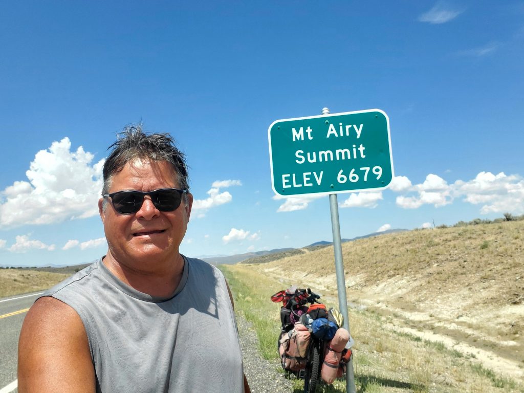
Another summit. These were usually 1000-2000 feet above the valley floor. I can go about 500 feet up in an hour, so this would take 2-4 hours at 5 mph. Even with the assist, it was still very strenuous. I usually had to climb up one or two of these 7000 foot passes every day.
Nevada has a lot of public land, so that is one less thing to worry about. Free camping is pretty easy.
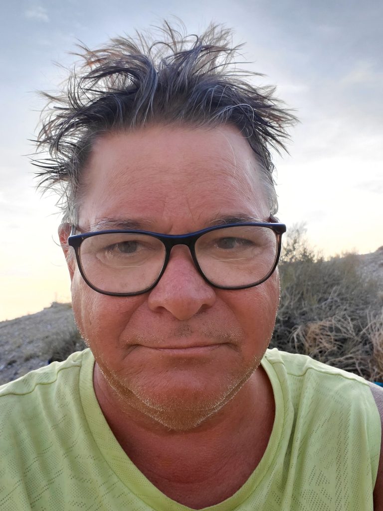
I camped a lot, and you get used to serious bedhead. I am thinking of using this for my Tinder photo. What do you think?
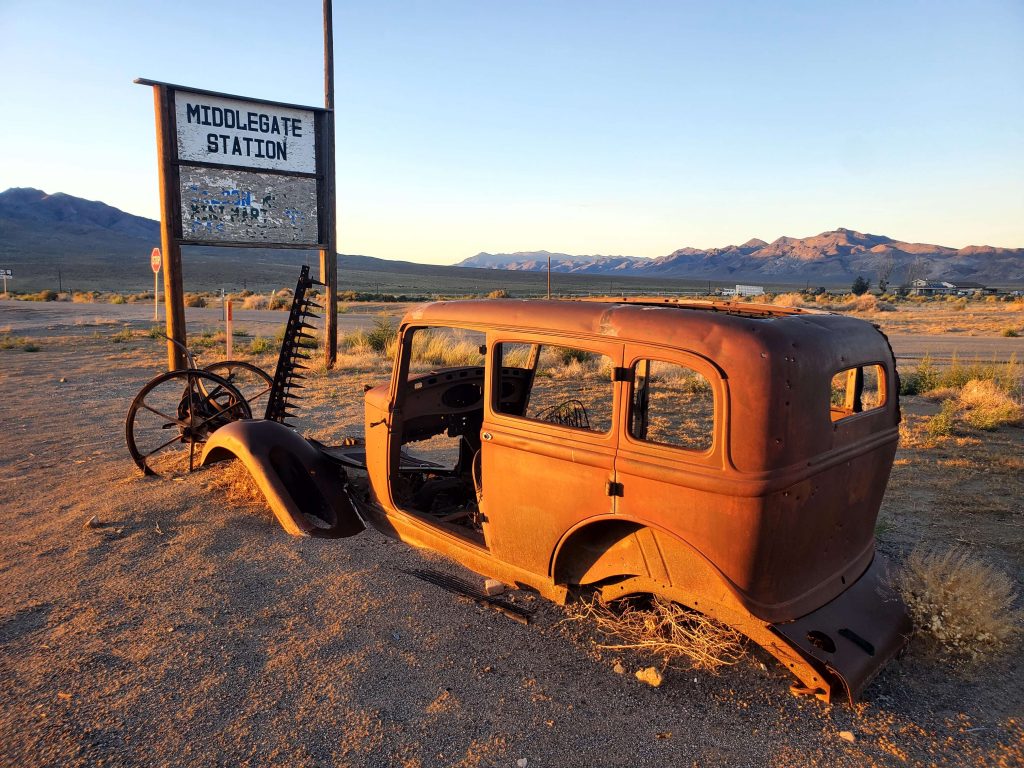
My last stop on the loneliest road was Middlegate Station, just a bar, RV park, gas station and some rooms.
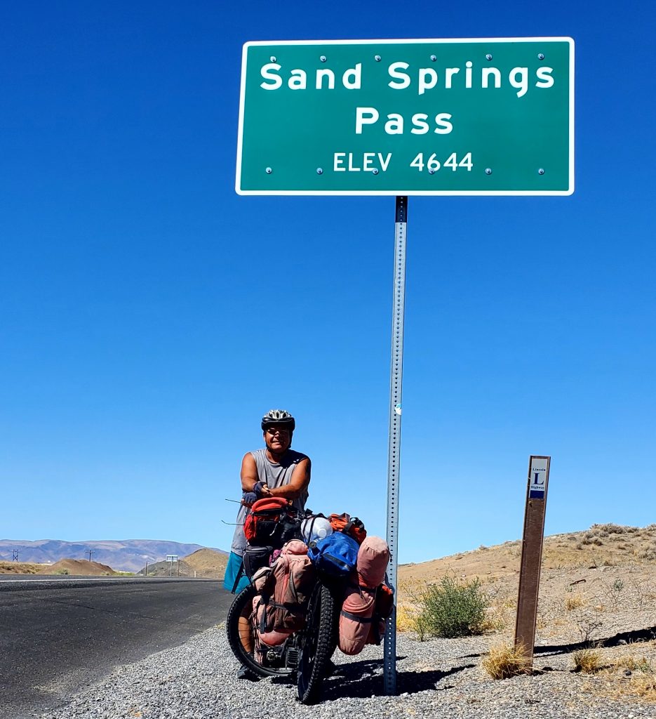
Then the last pass on the road, Sand Springs pass.
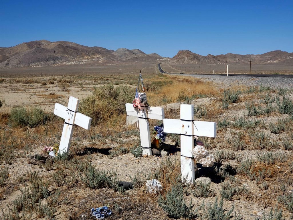
I also saw quite a few of these memorials. Drive safe!
That’s it for now. I am currently in Fallon, Nevada, headed south.
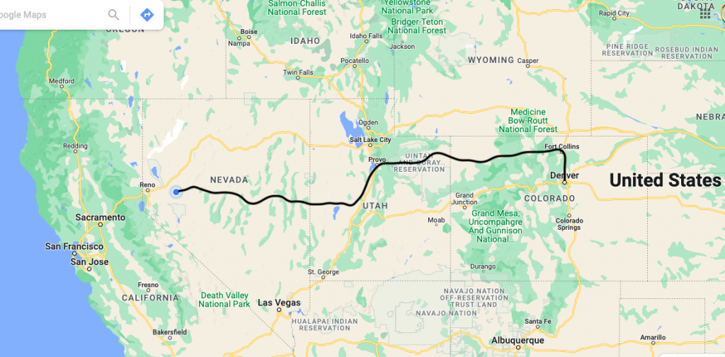
Distance so far is about 1200 miles. No major physical or mechanical issues. Just a slog. But I am tired, and headed south toward Death Valley, where 100+ temps are common. I am a little concerned.