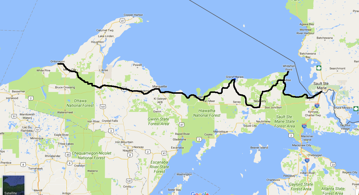
My route across the U.P. over the past nine days.
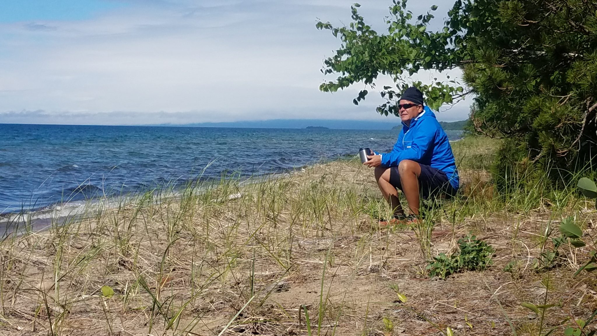
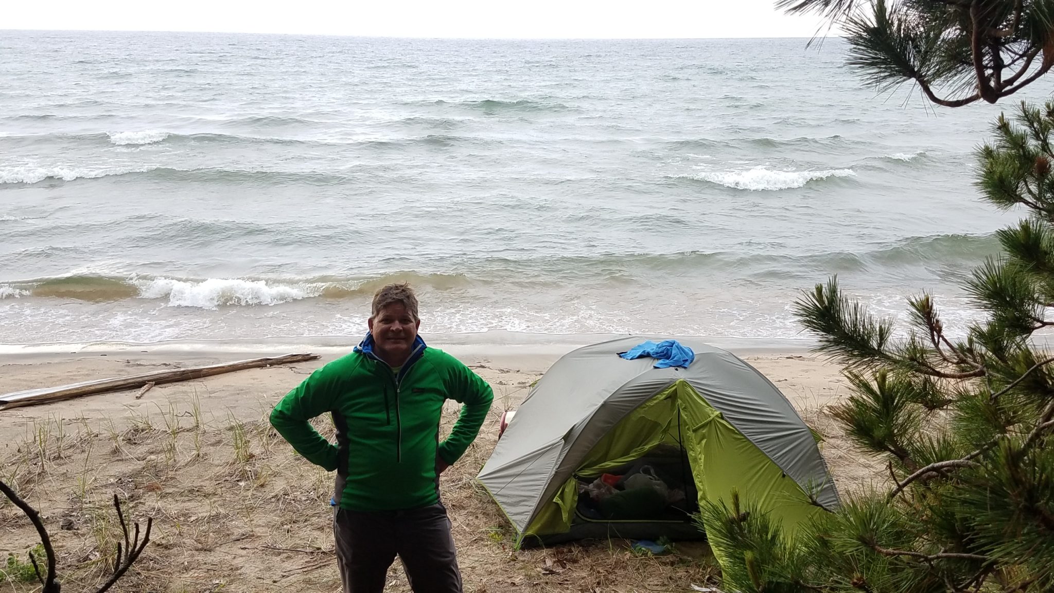
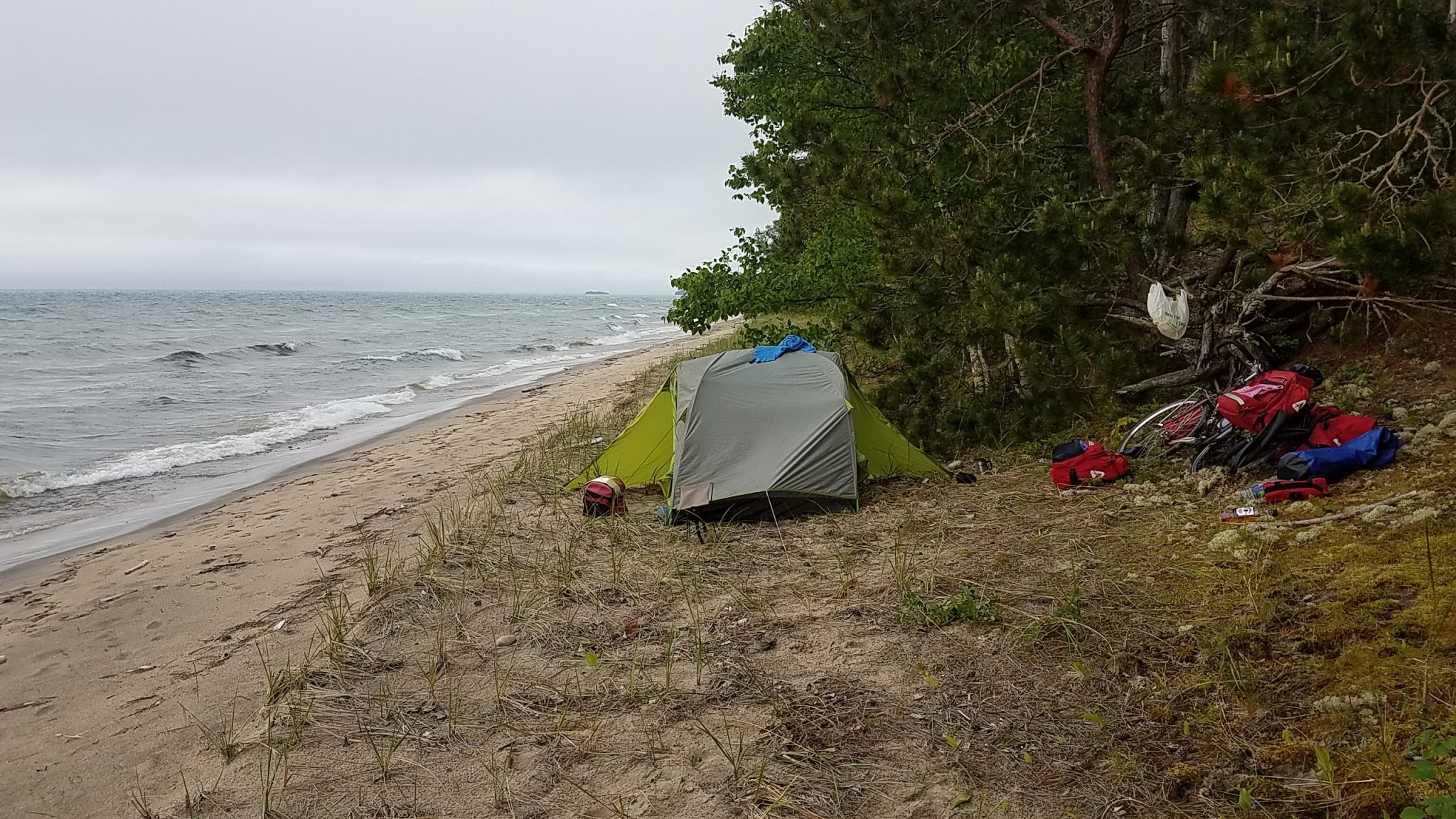
I left Sault Ste. Marie on a drizzly day, and had to stop to take shelter three times before getting out of town. But finally the skies cleared and I had a nice ride along the south shore of Lake Superior. I was hoping to get a camping spot by the lake, and I lucked out. I was about 200 feet from the shore and I could see that the woods were not too thick so I walked my bike to the lake and got a fantastic camping spot 20 feet from the water. It was windy and cool but sunny and not a person in sight.
I walked the beach for a bit but mostly just sat and enjoyed the view. A fog rolled in as I set up my tent but it was still a great night by the lake. This location was about 30 miles west of Sault Set. Marie looking north over Whitefish Bay.
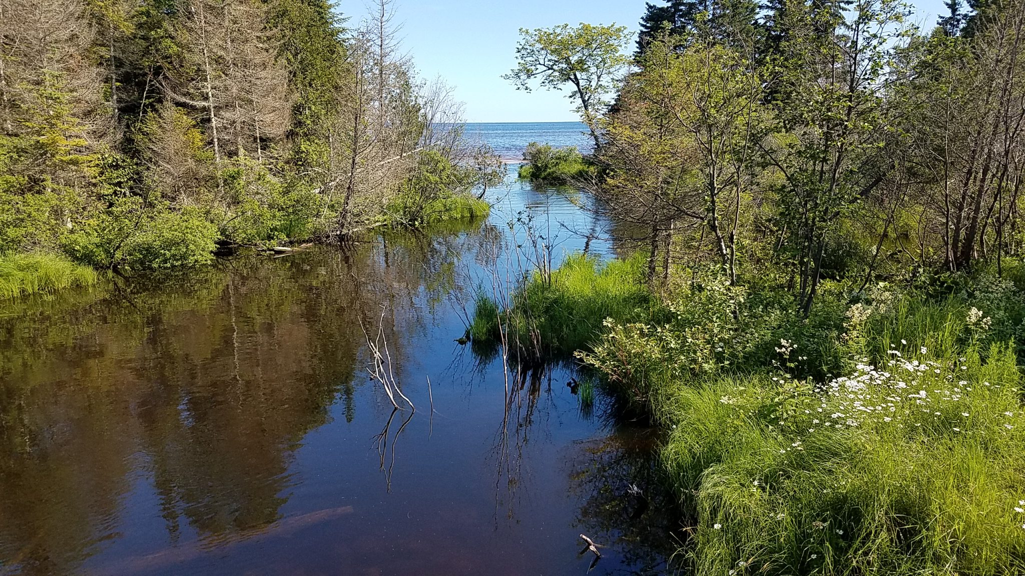
As I made my way north to Whitefish Point I passed by this little stream emptying into Lake Superior.
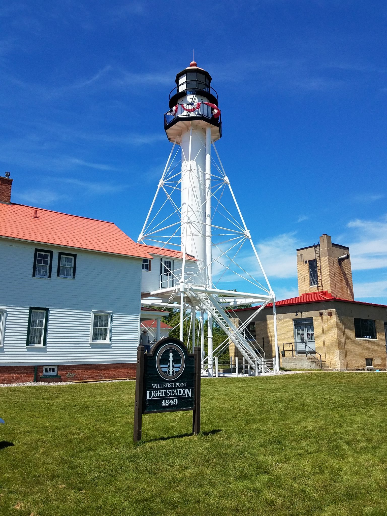
Then I saw the Whitefish Point lighthouse. From the website, exploringthenorth.com:
First lit in 1849, the Whitefish Point Light shares honors with the lighthouse at Copper Harbor for being the first lights on Lake Superior and is the oldest active light on Lake Superior.
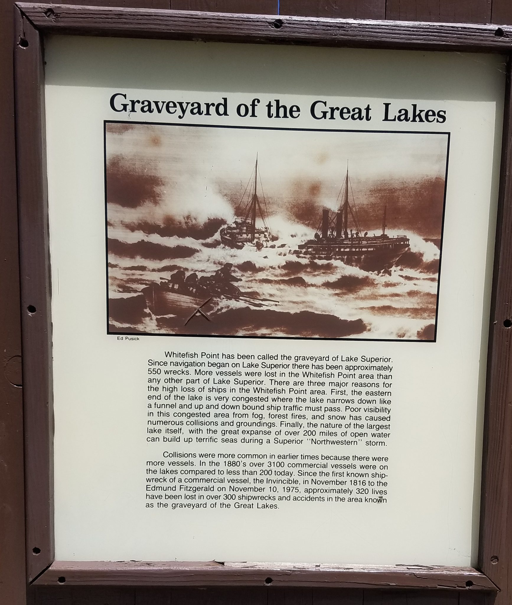
Whitefish Point is known as the Graveyard of Ships as more vessels have been lost here than in any other part of the lake. Hundreds of vessels, including the famed Edmund Fitzgerald, lie on the bottom of the bay and the approaches. The lighthouse marks the end of an 80 mile stretch of shoreline known as Lake Superior’s Shipwreck Coast. This light has shined onto the big lake unfailingly for almost 150 years except for the night when the Edmund Fitzgerald went down.
Raging northwest winds, building up over 160 miles of open water, create waves of unbelievable proportions. These violent storms and wild waters erupt with a suddenness that often catch sailors unprepared. The mountainous waves strike harder and more often that any ocean wave. The waves come roaring in from two or three different directions, ricocheting off the shores and returning with even more intensity. These monstrous storms, of hurricane force and duration, strike with all the ferocity and brutality of any ocean storm.
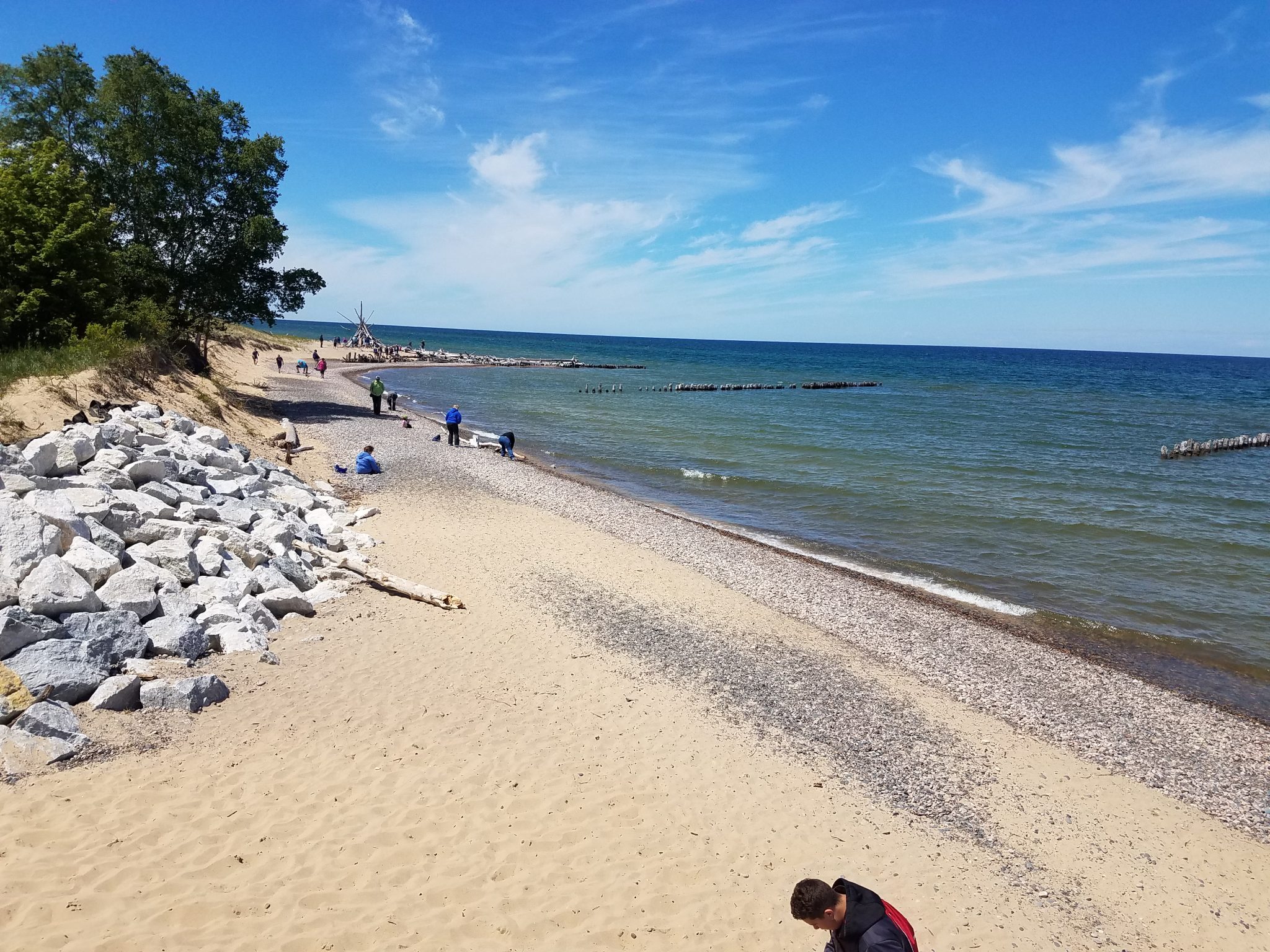
The beach at Whitefish Point.
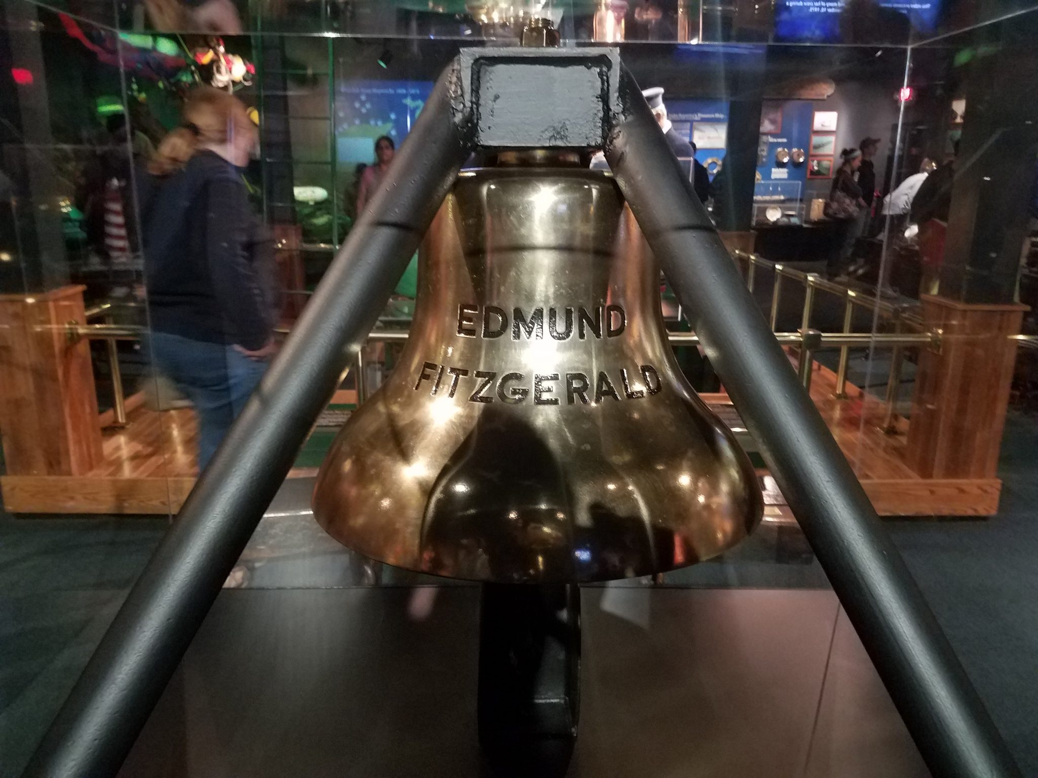
The ship’s bell from the Edmund Fitzgerald, which was removed from the wreck in 1995 and now serves as a memorial in the Shipwreck Museum at Whitefish Point.
You can read more about the bell recovery here.
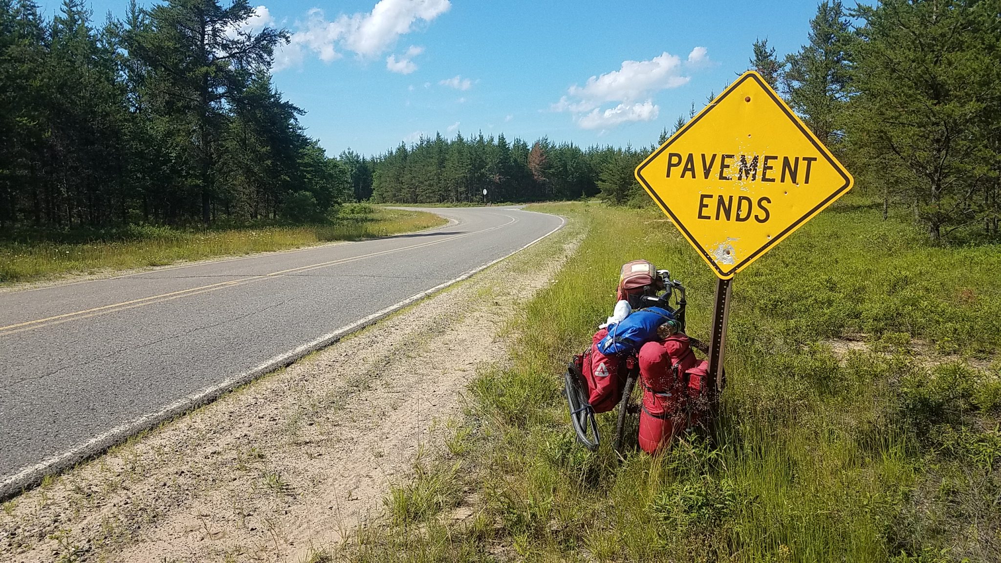
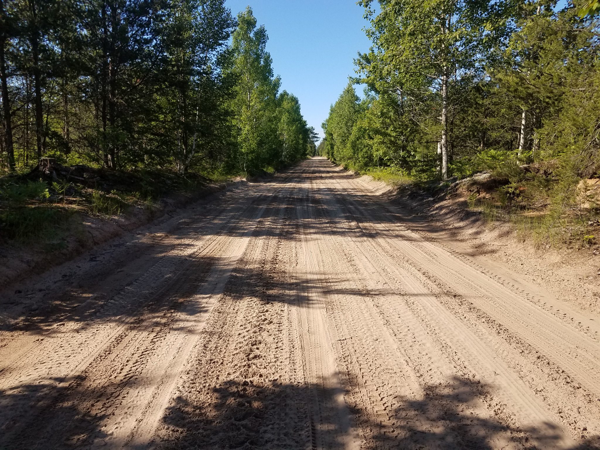
I took another shortcut trying to get away from highway traffic again, and again it ended in misery. The road quicky became sandy which was impossible to ride on. I dragged my bike through this mess for several miles before emerging again onto pavement. Later, I tried again on a paved county road. It started out paved, but soon I saw the dreaded sign that strikes fear into all bicycles tourists: “PAVEMENT ENDS.”
After 15 miles of dirt, gravel and sand, I got on pavement again and stumbled into Grand Marais, 100 miles and three days after leaving Whitefish Point.
Sandy road. Ugh. Tough to even walk the bike, impossible to ride.
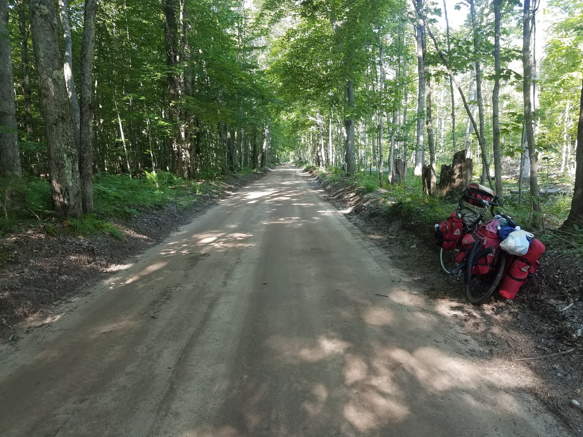
But I did get on some nice unpaved roads too.
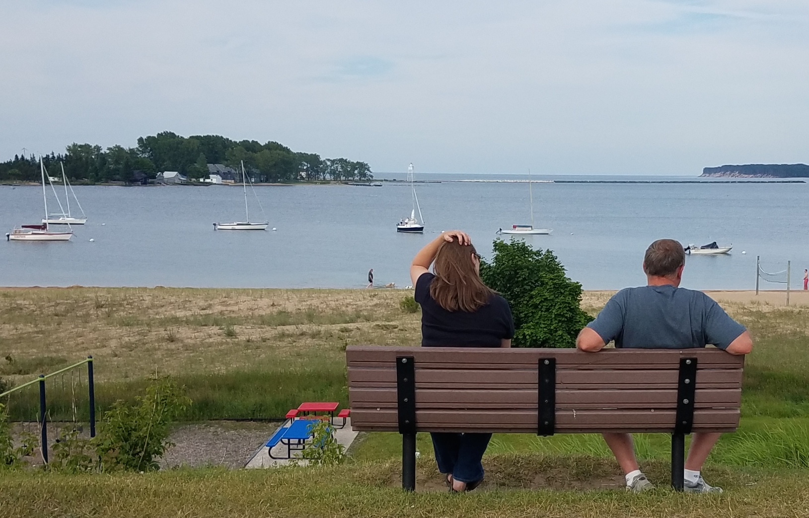
Couple on bench enjoying the view of Grand Marais harbor.
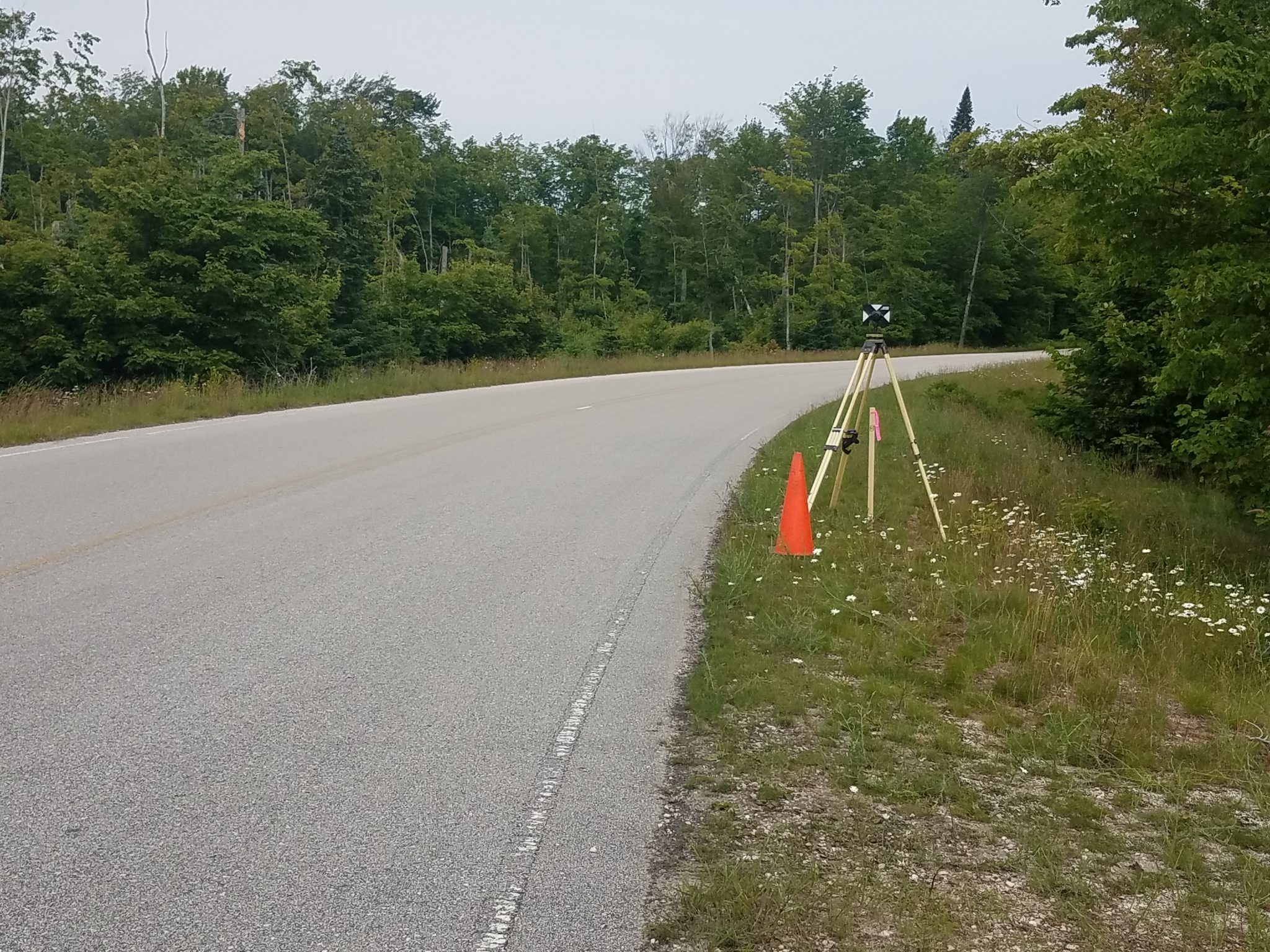
On the road. Where is the surveyor?
The survey team was just 100 yards further down the road. One guy was shouting angrily at someone who was in the woods somewhere. “Hurry up! Get that equipment!” As I rode past he looked annoyed and muttered to me, “I wish I was on vacation.” Geez, I didn’t know surveying could be so stressful.
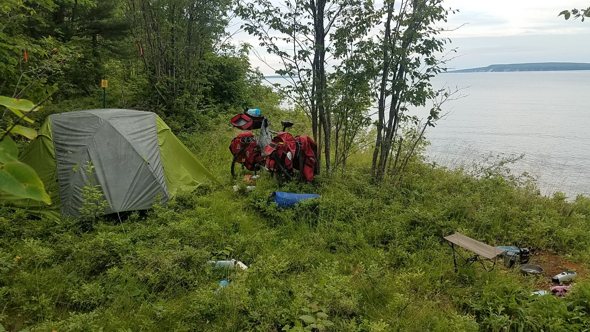
I wanted to get a hotel in Munising but they were all full or overpriced ($160 for a 1 star motel?). The campgrounds were all full so one must get creative. I saw on my map a road that went by Lake Superior again so I took a look and managed to get on a trail that ended right at the beach. Had a bath in the lake (cold) and a peaceful night. Cost? $0.
I took a short break to see the Sable Falls outside of Munising.
Some sights on the way to Marquette.
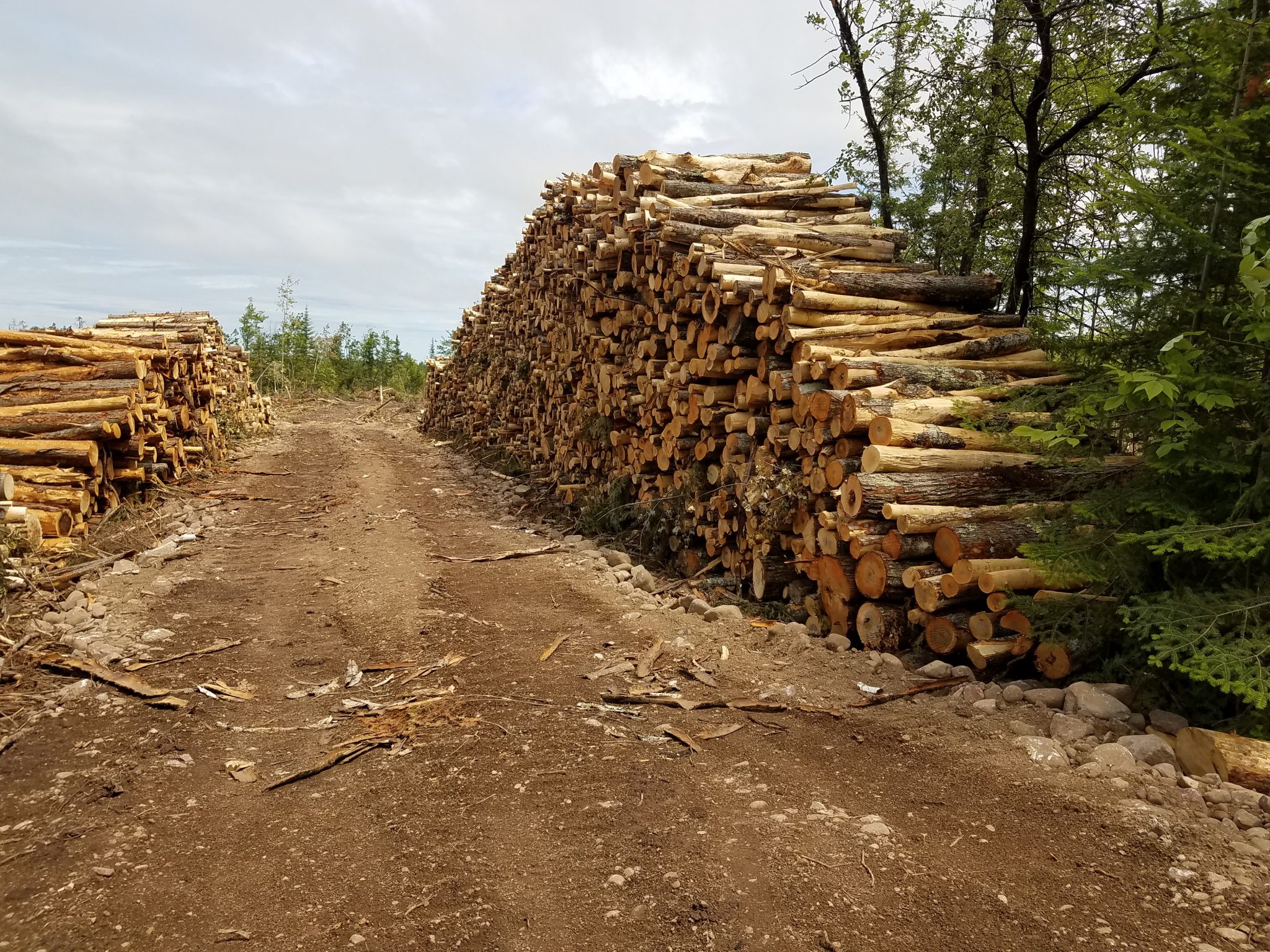
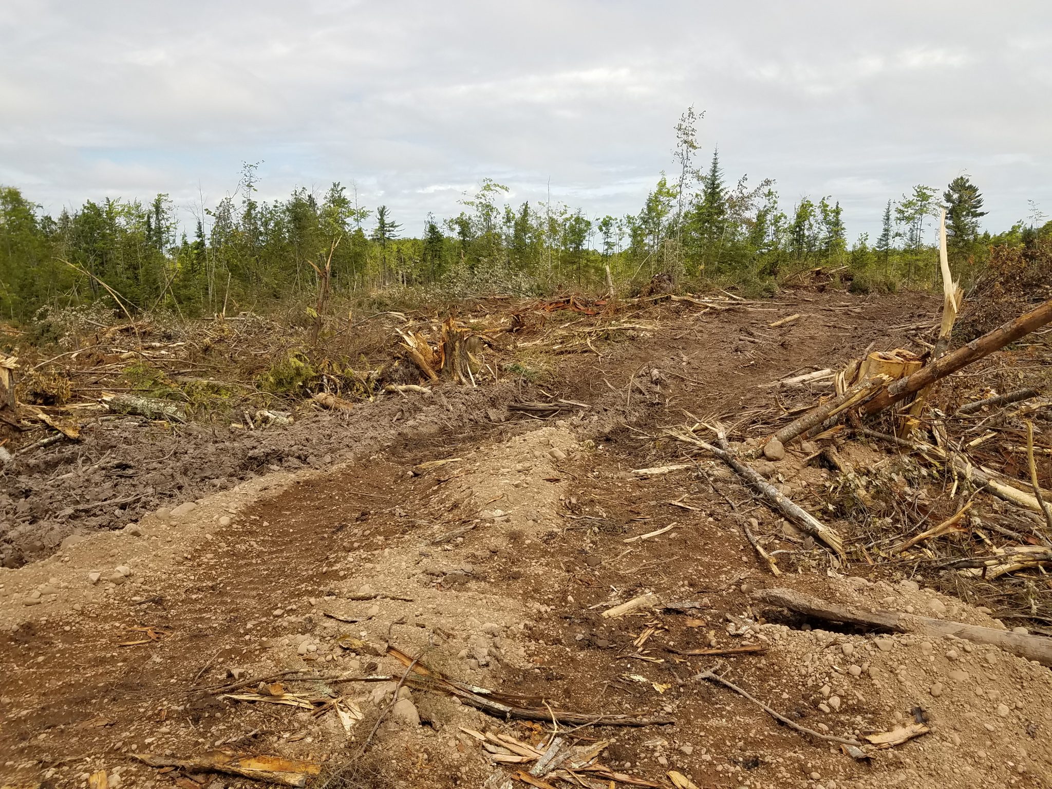
The aftermath of a logging operation.
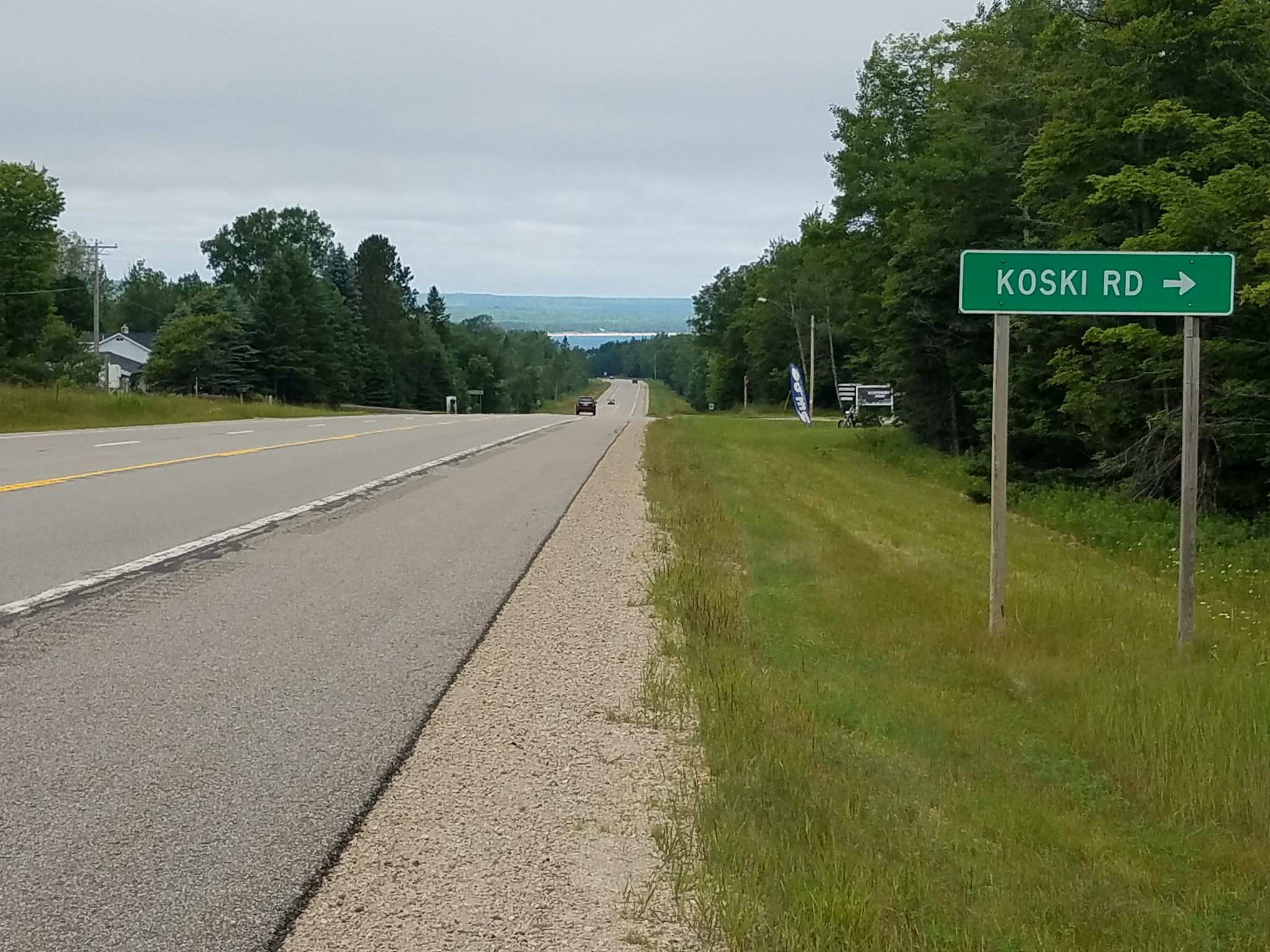
Koski Road!
By the way, thank you Michigan highway department for the wide shoulders!
A rest stop on Lake Superior. Sunny but cool and windy.
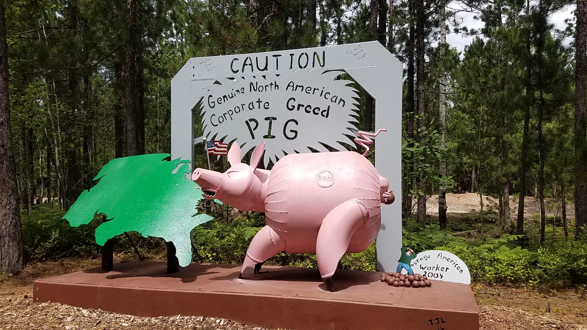
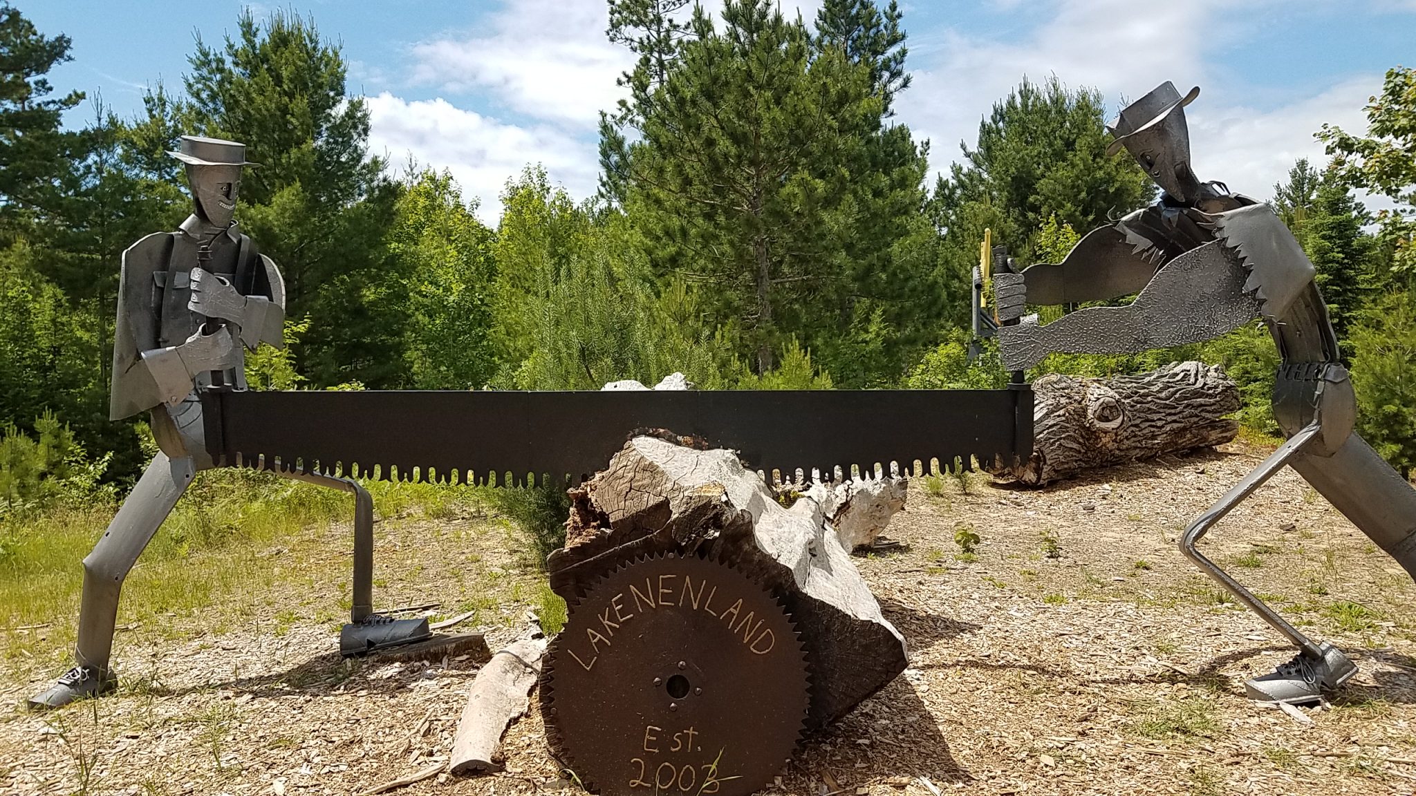
I stopped at an unusual place called Lakenenland sculpture park. The guy makes sculptures out of junk iron and steel pieces welded together. Think he voted for Trump?
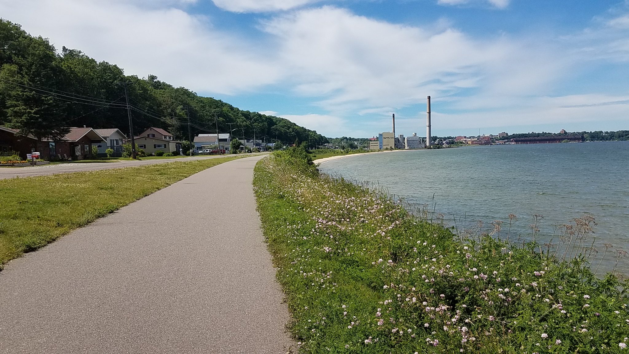
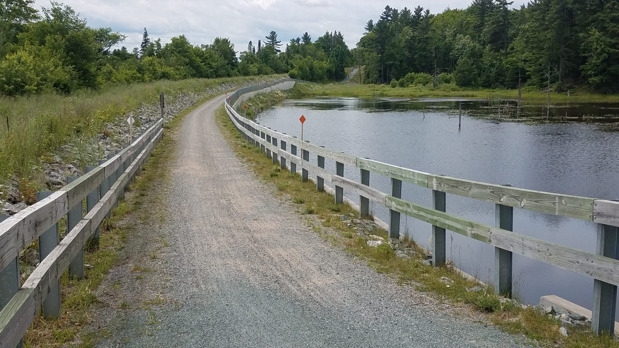
Nice rail trail into Marquette.
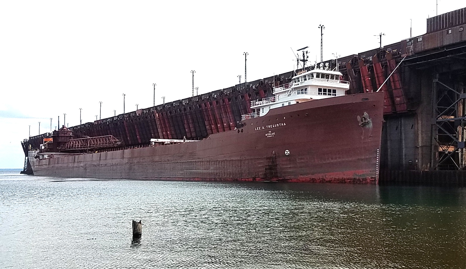
I met my nephew Kurt who lives in Marquette and he gave me a tour of the city. They still load iron ore onto freighters there. One happened to dock as we were in the area.
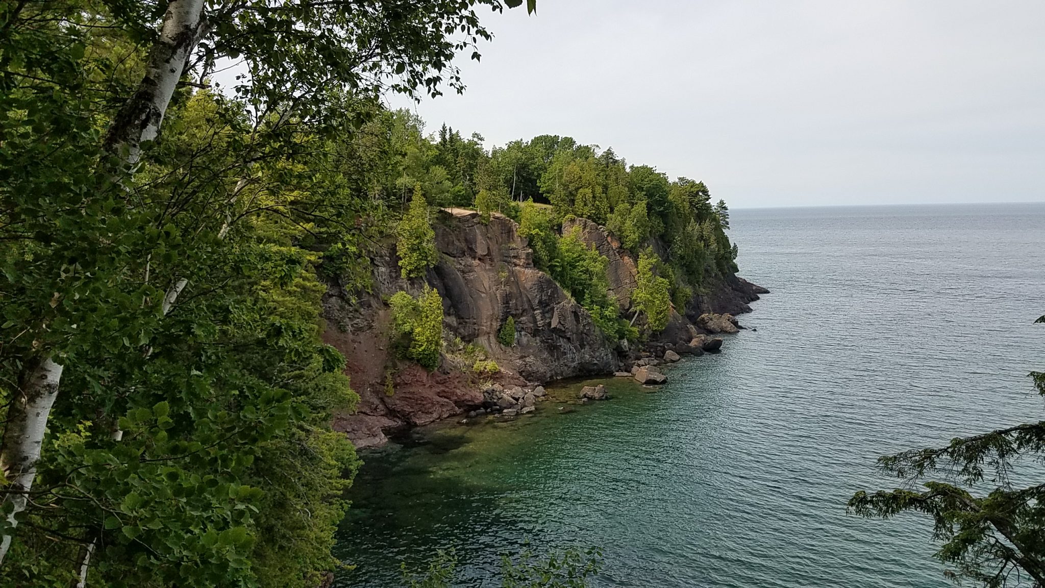
A nice view of the lakeshore on Presque Isle.
Kurt made this didgeridoo and plays it.
After some time at a local brewery, we went to a Bluegrass concert. Freeze dried grass was playing.
How to drink beer, UP style.
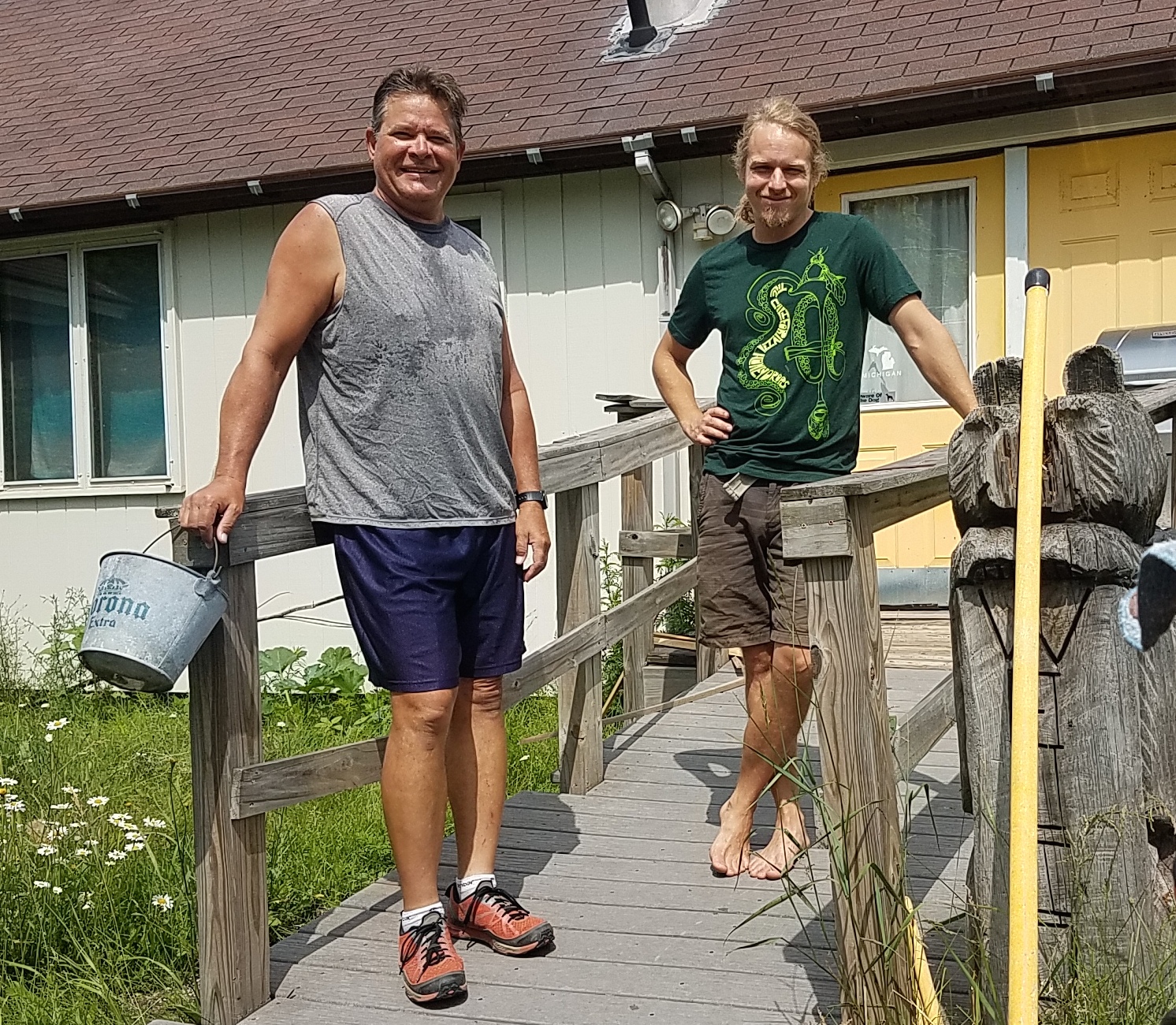
Here we are at his house.
I left Marquette on a great rail trail, the iron ore historical trail, which goes for 47 miles. There was a lot of iron ore mining in this part of the U.P. from 1850 to 1900. There are still several mines around but the old settlements, mines and blast furnaces are mostly gone.
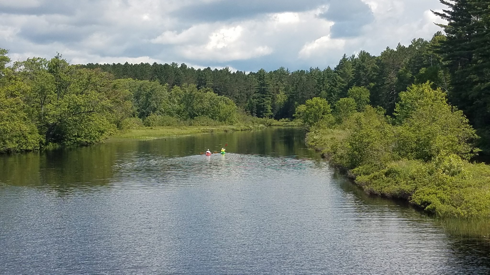
Kayakers on Peshekee River.
Yep, I’m in the U.P.
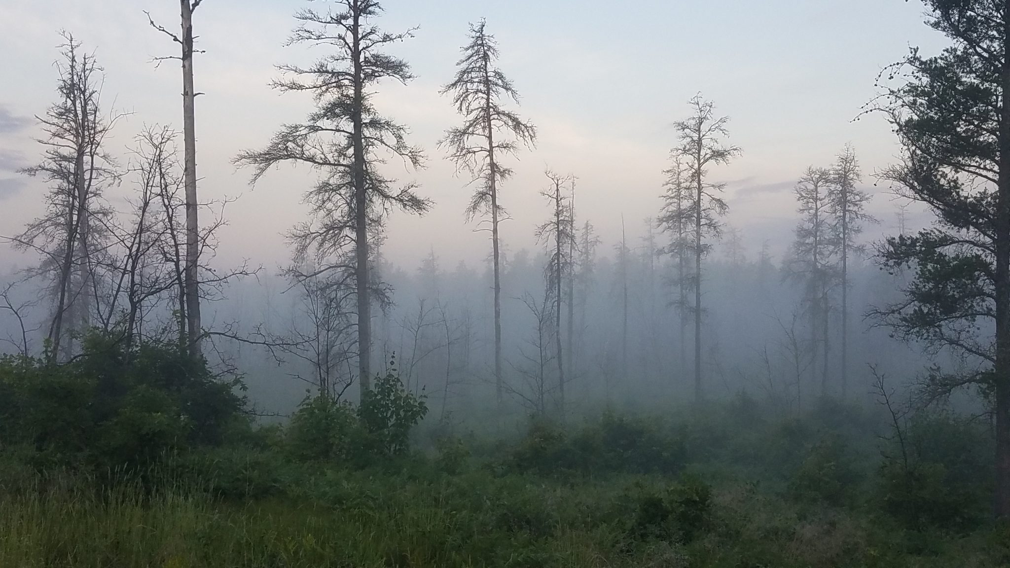
Early morning fog in Ottawa National Forest near Mass City.
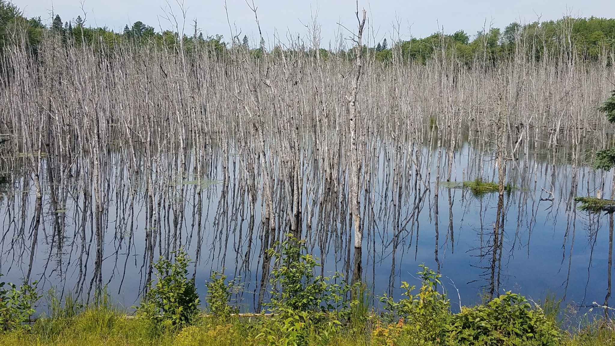
A lake of dead trees. Weird. Can trees drown?
Next stop: The Keweenaw Peninsula.

You proved it to me, the UP is someplace special. See you next week.